




What's Happening?
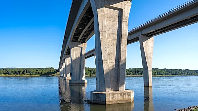
A coalition of environmental and community organizations has called upon U.S. Senators Ted Budd and Thom Tillis, and Congressman David Rouzer, to request a reevaluation of federal requirements for the replacement of the Cape Fear Memorial Bridge. Specifically,
the groups are asking the U.S. Army Corps of Engineers to reconsider its mandate for a 135-foot vertical clearance for the new bridge. Critics argue that this height requirement, based on data from the 1990s, is outdated and does not reflect current industrial activity north of the bridge, which has significantly decreased. They point out that the channel north of the bridge is not dredged for larger vessels and that the current lift section is primarily used by recreational boats. The Alliance for Cape Fear Trees, Cape Fear River Watch, and other groups contend that the high clearance requirement limits design options, drives up the estimated cost to over a billion dollars, and could necessitate tolls, which are broadly unpopular.
Why It's Important?
The federal height requirement for the Cape Fear Memorial Bridge replacement has significant implications for both the local community and the environment. The estimated cost of over a billion dollars, largely influenced by the 135-foot clearance, could lead to the implementation of tolls, placing a financial burden on residents and commuters. This issue has garnered widespread opposition across the political spectrum and from local governments in Wilmington, Leland, and New Hanover County. Environmentally, maintaining an expectation of deep-draft commercial navigation upstream, as implied by the high clearance, could perpetuate pressure for future dredging, shoreline alteration, and industrial development in sensitive wetlands, forests, and riverfront areas. Research suggests that dredging can accelerate saltwater intrusion, leading to changes in freshwater tidal wetlands and the formation of 'ghost forests,' posing a threat to the region's ecological balance.
What's Next?
The environmental and community groups, along with local elected officials, are urging the federal delegation to push the Army Corps for a new study of the navigation channel, specifically invoking Section 216 of the Flood Control Act of 1970. This section authorizes the Army Corps to review projects when physical or economic conditions have significantly changed. If the channel requirements cannot be altered, local governments have also requested additional federal funding, arguing that the 135-foot requirement serves federal interests. The outcome of this reevaluation will determine the design, cost, and potential tolling of the new bridge, as well as its long-term environmental impact on the Cape Fear River basin. Stakeholders will be closely watching for responses from the federal delegation and the Army Corps of Engineers regarding a potential new study.
Beyond the Headlines
This situation highlights a broader tension between historical infrastructure planning and contemporary environmental and community needs. The reliance on decades-old data for a critical infrastructure project underscores the need for adaptive planning that considers evolving ecological conditions and local economic realities. The debate also touches upon the balance of power between federal agencies and local communities in determining regional development. The potential for tolls on a new bridge raises questions about equitable access to infrastructure and the financial burden placed on residents for projects driven by federal mandates. Furthermore, the environmental concerns about dredging and industrial development in sensitive areas reflect a growing awareness of climate change impacts and the importance of preserving natural habitats, even in the face of economic development pressures. This case could set a precedent for how future infrastructure projects are planned and funded, emphasizing community input and environmental stewardship.