






What's Happening?
Central Florida is currently under a heat advisory as temperatures soar into the mid-90s, with heat index values reaching between 103 and 108 degrees. This extreme heat is expected to persist until a cold front arrives later in the day, bringing relief
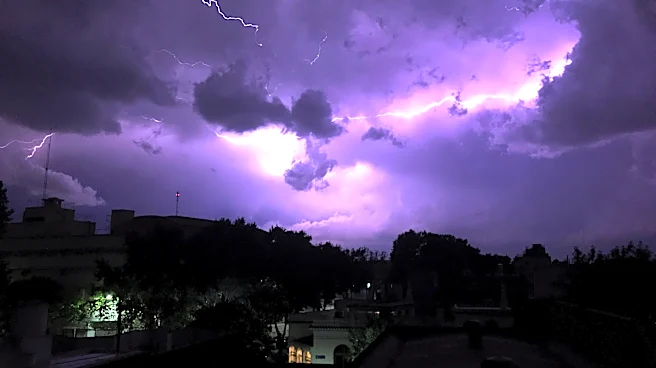
with more typical late-summer temperatures. However, the front is also predicted to trigger strong to severe thunderstorms, potentially causing heavy rain, frequent lightning, and wind gusts up to 60 mph. The unsettled weather is anticipated to continue into Thursday morning, with a significant risk of flooding due to multiple rounds of heavy rainfall. The cold front is expected to stall north of Orlando, maintaining high rain chances through the weekend, with some areas possibly receiving up to 5 inches of rain.
Why It's Important?
The heat advisory and impending storms pose significant risks to public safety and infrastructure in Central Florida. High temperatures can lead to heat-related illnesses, particularly among vulnerable populations such as the elderly and those with pre-existing health conditions. The severe weather, including potential flooding, could disrupt daily life, damage property, and strain emergency services. The situation underscores the importance of preparedness and the need for residents to stay informed about weather updates and safety advisories. The economic impact could also be substantial, affecting businesses, especially those reliant on outdoor activities and tourism.
What's Next?
Residents are advised to take precautions against the heat and prepare for possible severe weather. This includes staying hydrated, avoiding outdoor activities during peak heat, and securing property against potential storm damage. Local authorities and emergency services are likely to remain on high alert, ready to respond to any incidents resulting from the weather conditions. The situation will be closely monitored, with updates provided by weather services to guide public response and ensure safety.