








What's Happening?
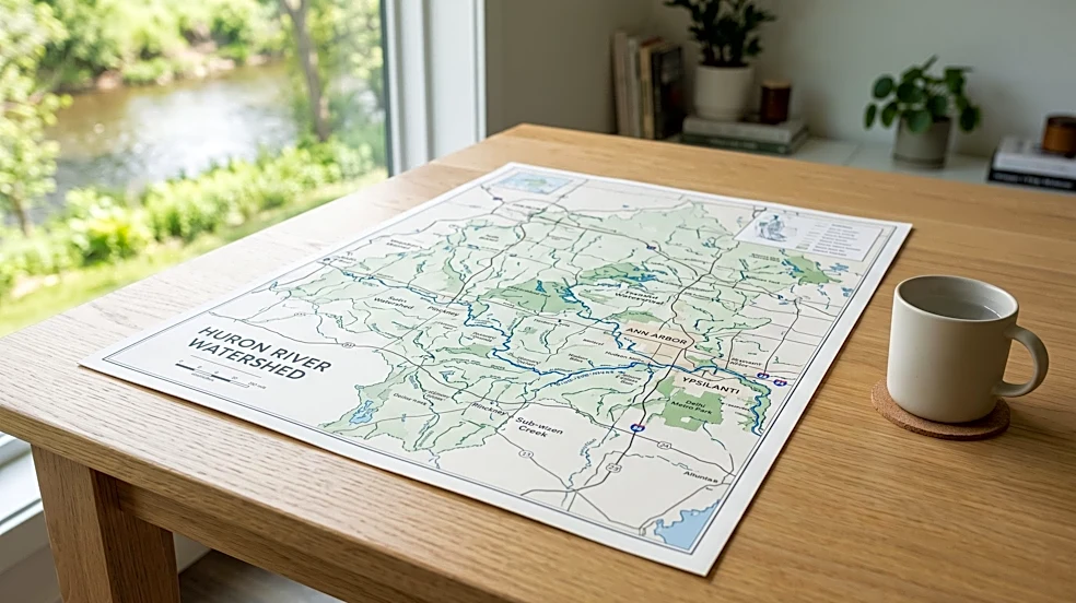
The Huron River Watershed Council (HRWC) is offering a free printed map poster of the Huron River Watershed. This 36"x 24" map, produced in 2021, details all 24 creeksheds, five trail towns, various parks, dams, and the route of the Huron River Water Trail.
The poster is printed on 100 lb paper containing 10% post-consumer waste. Individuals can pick up a free copy by appointment at the HRWC's Ann Arbor office. For those unable to pick it up in person, the map can be ordered by mail for a $15 shipping fee, with the option to ship up to five posters in one mailing tube. The map was created with support from the Bates family, the Middle Huron Partners, and the Livingston Watershed Advisory Group.
Why It's Important?
This initiative by the Huron River Watershed Council is important for several reasons. Firstly, it promotes environmental awareness and education by providing a detailed visual representation of the watershed, helping residents understand the interconnectedness of local waterways. This knowledge can foster a greater sense of responsibility towards conservation efforts. Secondly, by highlighting the Huron River Water Trail, parks, and trail towns, the map encourages outdoor recreation and ecotourism, which can boost local economies in the communities along the river. Thirdly, the map serves as a valuable resource for local planners, educators, and community groups, aiding in land use planning, environmental studies, and public outreach programs. The use of recycled paper for the poster also aligns with sustainable practices, reinforcing the HRWC's commitment to environmental stewardship.
What's Next?
The Huron River Watershed Council will continue to distribute these map posters, likely through ongoing appointments at their Ann Arbor office and mail orders. Future steps might involve updating the map periodically to reflect any changes in the watershed, such as new park developments, trail extensions, or environmental restoration projects. The HRWC may also explore digital versions of the map, potentially integrating it into online platforms or mobile applications to reach a wider audience and offer interactive features. Continued partnerships with local organizations and community groups will be essential for promoting the map and its educational value, further engaging the public in watershed conservation and recreational activities.
Beyond the Headlines
Beyond its immediate utility, the Huron River Watershed map poster symbolizes a broader commitment to regional environmental health and community engagement. It underscores the importance of local organizations in bridging the gap between scientific data and public understanding, translating complex ecological systems into accessible information. This effort can cultivate a deeper appreciation for natural resources and inspire citizen science initiatives, where residents actively participate in monitoring and protecting their local environment. Ethically, providing such a resource freely (or at minimal cost for shipping) demonstrates a dedication to public service and equitable access to environmental knowledge. Culturally, the map helps to define a shared regional identity centered around the Huron River, fostering a sense of collective stewardship for this vital natural asset.