




What's Happening?
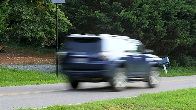
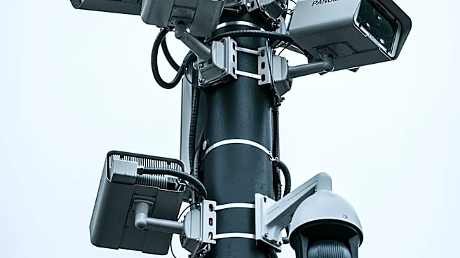
DeFlock Maps, a new crowdsourced app, is providing transparency on the locations of Flock Safety's surveillance cameras across the U.S. The app, which uses data from volunteers and OpenStreetMap, aims to increase public awareness of the widespread use of automated
license plate readers (ALPRs). Flock cameras, which make up over 80% of the devices mapped, have been criticized for their role in mass surveillance. The app's creators argue that making this information accessible empowers communities and promotes accountability. The initiative comes amid growing concerns about privacy and the expansion of surveillance infrastructure.
Why It's Important?
The proliferation of surveillance technology raises significant privacy concerns, as communities grapple with the implications of constant monitoring. DeFlock Maps provides a tool for citizens to understand the extent of surveillance in their neighborhoods, potentially influencing public discourse and policy on privacy rights. The app's transparency could lead to increased scrutiny of surveillance practices and push for regulatory measures to protect individual privacy. As surveillance technology becomes more prevalent, balancing security needs with civil liberties will remain a critical issue for policymakers and communities.