


What's Happening?
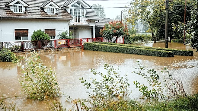
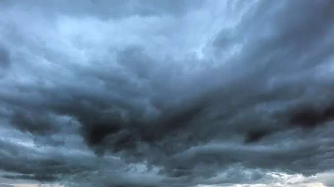
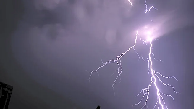
North Texas is experiencing a series of thunderstorms that began early Saturday morning, with gusty winds and quarter-sized hail reported in areas such as University Park, Grapevine, and Duncanville. The storm system moved eastward, allowing for a temporary
dry spell in the late morning and early afternoon. However, another disturbance is expected to bring additional storms later in the afternoon. While severe weather is not anticipated, concerns remain about lightning and potential flooding. Temperatures are expected to reach the mid-80s, with cloudy skies turning mostly sunny by the afternoon. The forecast for the remainder of the Memorial Day Weekend includes more chances of rain and storms, particularly on Sunday, with a lower likelihood on Memorial Day itself.
Why It's Important?
The weather forecast is crucial for residents and visitors planning outdoor activities over the Memorial Day Weekend, a time traditionally associated with outdoor gatherings and events. The potential for storms, particularly with lightning and flooding risks, poses safety concerns for those engaging in activities such as swimming or boating. The weather conditions could also impact local businesses that rely on holiday weekend traffic, such as restaurants and recreational facilities. Additionally, the ongoing active weather pattern suggests that residents should remain vigilant and prepared for further disturbances throughout the week.
What's Next?
Residents and visitors in North Texas should monitor weather updates closely, especially if planning outdoor activities. It is advisable to have contingency plans in place for indoor activities should storms develop. Local authorities and weather services will likely continue to provide updates and advisories to ensure public safety. The active weather pattern suggests that further disturbances could occur, necessitating ongoing preparedness and caution.