


What's Happening?
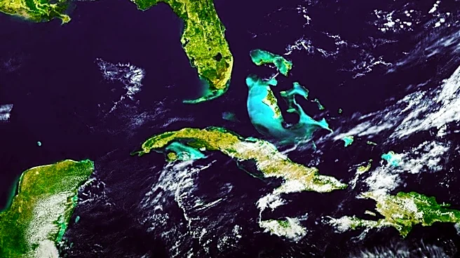
The U.S. Geological Survey (USGS) has unveiled a new satellite map to commemorate the 250th anniversary of the United States, showcasing significant changes in the American landscape over the past 50 years. This map, part of the America 250 celebration,
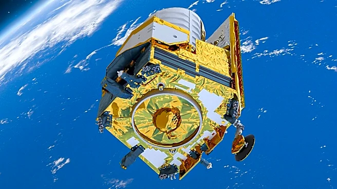
was created using data from Landsat 8 and Landsat 9 satellites. It provides a comprehensive view of the country, highlighting environmental changes such as the shrinking of the Great Salt Lake in Utah due to drought, rising temperatures, and water diversions. The map also reflects advancements in Earth observation technology since the first satellite photomosaic was produced in 1976. The new image is more vibrant, with noticeable differences in color and landscape features compared to the 1976 version.
Why It's Important?
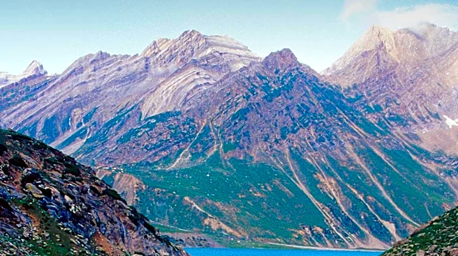
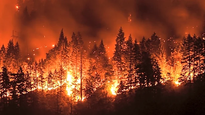
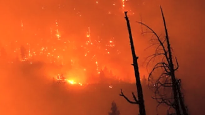
The release of this map underscores the critical role of satellite imagery in understanding environmental changes and informing public policy. The shrinking of the Great Salt Lake, for instance, raises concerns about dust pollution, wildlife habitat loss, and economic impacts on industries reliant on the lake. The Landsat program, which has been operational since 1972, provides essential data for various sectors, including agriculture, water management, and emergency response. This long-term record helps scientists and policymakers track changes in urban expansion, agricultural development, and natural disasters, thereby supporting informed decision-making and sustainable management of natural resources.
What's Next?
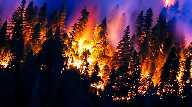
Looking ahead, NASA and the USGS are planning to launch Landsat 10 in 2031. This next-generation Earth-observing mission aims to continue the legacy of providing the longest continuous space-based record of Earth's land surface. The new satellite will enhance the ability to monitor environmental changes and support various applications, from agriculture to disaster management. The ongoing development of the Landsat program highlights the commitment to advancing Earth observation technologies and ensuring the availability of critical data for future generations.