


What's Happening?
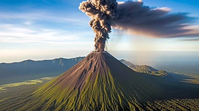
NASA's Landsat 8 satellite has captured a striking image of the Mayon volcano erupting in the Philippines. The image, taken on February 26, 2026, shows bright red lava flows and ash clouds emanating from the volcano, which is located on Luzon, the largest
island in the Philippines. Mayon began erupting in January 2026, displacing hundreds of families in the surrounding areas. The volcano is known for its frequent eruptions, with a history of causing significant damage and fatalities. The satellite image provides a rare natural color view of the eruption, highlighting the contrast between the lava and the surrounding landscape.
Why It's Important?
The eruption of Mayon volcano is a reminder of the powerful natural forces that can impact communities and ecosystems. Satellite imagery plays a crucial role in monitoring volcanic activity, providing valuable data for scientists and emergency responders. This information helps in assessing the potential risks and impacts of eruptions, enabling better preparedness and response efforts. The image also underscores the importance of international collaboration in space-based Earth observation, as data from satellites like Landsat 8 contribute to global efforts in disaster management and environmental monitoring.