


What's Happening?
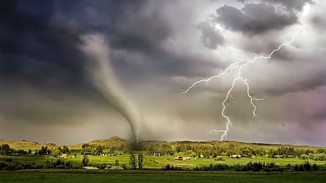
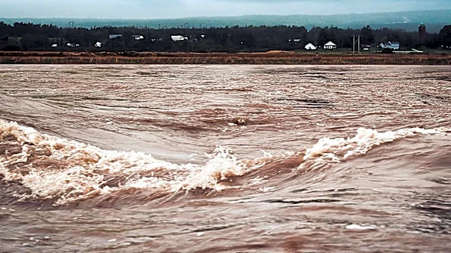
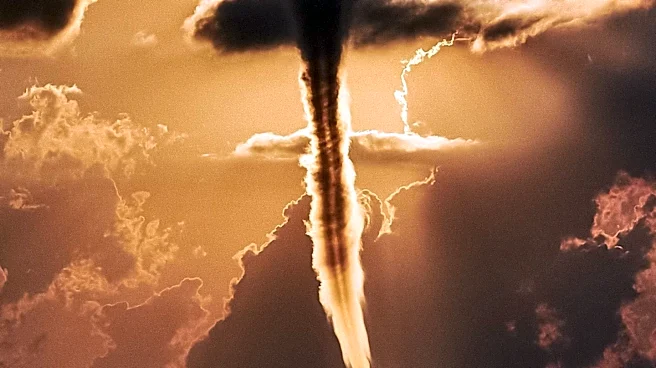
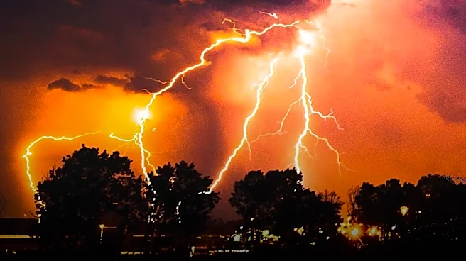
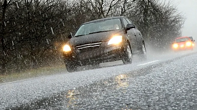
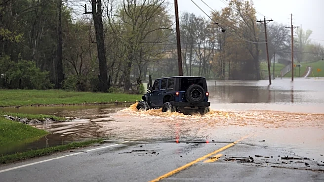
The Philadelphia region is experiencing severe weather conditions, prompting tornado and flood warnings. The National Weather Service has issued tornado warnings for parts of Chester and Delaware Counties, as well as northern Delaware, with reports of a funnel
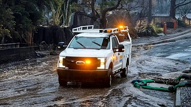
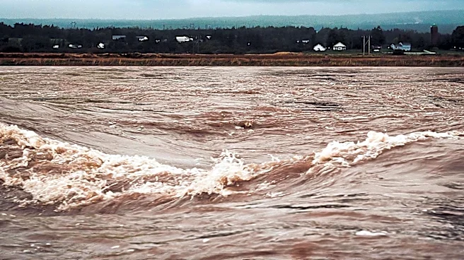
cloud sighting. A severe thunderstorm watch is in effect until 10 p.m., and flash-flood warnings have been issued due to expected rainfall rates of up to 3 inches per hour. The storms are part of a weather system that combines summer heat and humidity with dynamics more typical of cooler seasons. The region is bracing for potential significant impacts from these storms.
Why It's Important?
The severe weather poses a risk to public safety and infrastructure in the Philadelphia region. Tornadoes and flash floods can cause significant damage to homes, businesses, and transportation networks. The warnings highlight the need for residents to stay informed and prepared for emergency situations. The storms also underscore the challenges of predicting and managing extreme weather events, which are becoming more frequent and intense due to climate change. This situation serves as a reminder of the importance of investing in resilient infrastructure and emergency response systems to mitigate the impact of such events.
What's Next?
Residents in the affected areas are advised to monitor weather updates and follow safety guidelines issued by local authorities. The National Weather Service will continue to track the storm system and provide updates on its progression. Emergency services are on alert to respond to any incidents resulting from the severe weather. In the longer term, this event may prompt discussions on improving infrastructure resilience and emergency preparedness in the region. Authorities may also review and update their strategies for dealing with extreme weather events in light of climate change.