What's Happening?
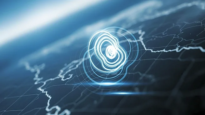
In the summer of 2025, a significant 8.8-magnitude earthquake occurred off the coast of Russia's Kamchatka Peninsula, leading to a tsunami that spread across the Pacific Ocean. NASA's SWOT satellite, which
stands for Surface Water and Ocean Topography, captured detailed images of this event. Launched in 2022, the SWOT satellite has been instrumental in mapping the earthquake's rupture zone, which extended approximately 250 miles and caused parts of the seafloor to rise by up to 13 feet. The satellite's data, combined with information from deep-ocean tsunami buoys, allowed researchers to observe the changes in tsunami waves as they traveled. This event marks the largest earthquake captured by the SWOT satellite to date, providing scientists with a comprehensive model to study and learn from.
Why It's Important?
The ability to capture detailed images and data of such natural disasters is crucial for advancing scientific understanding and improving predictive models. The SWOT satellite's observations offer valuable insights into the dynamics of megaquakes and tsunamis, which can help in developing better warning systems and preparedness strategies. This technological advancement enhances the capacity to mitigate the impact of future natural disasters, potentially saving lives and reducing economic losses. The research findings, published in The Seismic Record, underscore the importance of satellite technology in transforming how scientists track and predict tsunamis, contributing to global safety and resilience efforts.
What's Next?
The data collected by the SWOT satellite will likely be used to refine existing models and improve the accuracy of tsunami predictions. Researchers may continue to analyze the information to gain deeper insights into the mechanics of earthquake-induced tsunamis. This could lead to advancements in early warning systems, providing more timely alerts to affected regions. Additionally, the success of the SWOT satellite in capturing this event may encourage further investment in satellite technology and research, enhancing global capabilities in disaster monitoring and response.
Beyond the Headlines
The deployment of advanced satellite technology like SWOT represents a significant leap in the ability to monitor and understand natural disasters. This development highlights the intersection of technology and environmental science, showcasing how innovations can lead to better preparedness and response strategies. The ethical implications of using such technology also come into play, as it raises questions about data sharing, privacy, and the equitable distribution of technological benefits across different regions and communities.