






What's Happening?
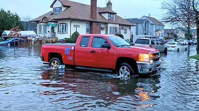
A Flash Flood Watch has been issued for Southern Arizona, covering all of Santa Cruz County, most of Pima County (including Tucson Metro), Western Cochise County, and Southeastern Pinal County. This watch is in effect for today and Sunday. The region
is experiencing increasing moisture, which is expected to bring scattered rain and storm chances over the weekend. Parts of Southeast Arizona face a marginal to slight risk of excessive rainfall on both days. Residents are advised to remain weather-aware and watch for potential hazards such as flooded roads, flash flooding, gusty winds, blowing dust, and heavy downpours. Concurrently, the Extreme Heat Warning for the area is set to expire later this evening, with temperatures expected to drop back into the 90s by Monday, though rain chances will persist.
Why It's Important?
The transition from extreme heat to flash flood warnings in Southern Arizona highlights the dynamic and often dangerous nature of the region's monsoon season. The combination of prolonged heat baking the ground, followed by heavy rainfall, significantly increases the risk of flash flooding, as dry soils struggle to absorb water quickly. This poses immediate threats to public safety, including hazardous driving conditions due to flooded roads and reduced visibility from blowing dust. For local infrastructure, flash floods can cause significant damage to roads, bridges, and drainage systems, leading to costly repairs and disruptions. Businesses may experience closures or reduced customer traffic, impacting local economies. Residents, particularly those in low-lying areas or near washes, face potential property damage and displacement. The need for continuous public awareness and preparedness is critical to mitigate the risks associated with these severe weather patterns, which are becoming more unpredictable with climate change.
What's Next?
Residents in Southern Arizona are advised to stay vigilant and monitor weather updates throughout the weekend, as the Flash Flood Watch remains in effect. Emergency services and local authorities will likely be on high alert, prepared to respond to incidents of flooding, road closures, and other storm-related emergencies. Individuals should take precautions such as avoiding flooded roads, having emergency kits ready, and securing outdoor items. While the Extreme Heat Warning is expiring, the lingering rain chances into Monday suggest that the weather will remain unstable. The focus will shift from heat-related health concerns to flood safety. Post-storm, assessments will be made for any damage to infrastructure and private property, and recovery efforts will commence as needed. The ongoing weather patterns underscore the importance of long-term climate resilience planning for the region.
Beyond the Headlines
The dual threat of extreme heat followed by flash flooding in Southern Arizona underscores a critical environmental and societal challenge: adapting to increasingly volatile weather patterns. This sequence of events can exacerbate existing vulnerabilities, particularly for marginalized communities with limited resources to prepare for or recover from such disasters. The psychological toll on residents, constantly oscillating between heat stress and flood anxiety, is also a less visible but significant impact. Furthermore, the strain on local emergency services and infrastructure highlights the need for enhanced investment in climate-resilient systems and comprehensive disaster preparedness strategies. This situation serves as a microcosm of broader climate change impacts, where regions must contend with not just one extreme weather event, but a rapid succession of contrasting and equally dangerous conditions, demanding a more integrated and adaptive approach to public safety and environmental management.