




What's Happening?
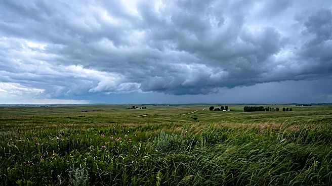
Omaha and the surrounding regions are preparing for a period of wet weather, with showers expected to develop overnight and continue intermittently through Friday. Forecasters indicate that there is also a possibility of a few rumbles of thunder during
this period. The heaviest rainfall is projected to occur south of the Omaha metropolitan area, specifically lining up across Southeast Nebraska and Southwest Iowa. KETV NewsWatch 7, citing its team with extensive experience covering weather in Nebraska and Iowa, is monitoring the situation. The forecast suggests that while Omaha will experience rain, the most significant precipitation will be concentrated in the southern parts of the broader region.
Why It's Important?
The forecast for rain and potential thunderstorms carries several implications for residents and daily activities in Omaha and the surrounding areas. Increased rainfall can lead to slick road conditions, potentially impacting morning and evening commutes and increasing the risk of traffic accidents. Localized heavy downpours, especially in areas south of Omaha, could lead to minor flooding in low-lying areas or areas with poor drainage, affecting property and infrastructure. For agricultural communities in Southeast Nebraska and Southwest Iowa, the timing and intensity of the rain could be significant, either benefiting crops that require moisture or potentially hindering ongoing fieldwork if conditions become too wet. The possibility of thunder also indicates a more active weather system, which could bring additional concerns such as lightning strikes, though the primary focus remains on precipitation. Residents are advised to stay informed about weather updates to plan their activities accordingly and ensure safety.
What's Next?
Residents in Omaha and the affected regions should anticipate wet conditions throughout the night and into Friday. It is advisable for commuters to allow extra travel time and exercise caution on roads due to reduced visibility and slippery surfaces. Those in areas prone to flooding, particularly south of Omaha, should monitor local conditions and be prepared for potential water accumulation. Weather services will continue to provide updates on the intensity and exact location of the heaviest rainfall and any potential for severe weather. Local authorities may issue advisories or warnings if conditions warrant, especially concerning road closures or flood risks. The weather system is expected to move out of the area by the end of Friday, leading to clearer conditions for the weekend.
Beyond the Headlines
The anticipated rainfall, while a common weather event, highlights the broader impact of meteorological patterns on urban and rural life. For urban centers like Omaha, effective stormwater management systems are crucial to prevent disruption from heavy rains, underscoring the importance of infrastructure planning and maintenance. In agricultural areas, the variability of rainfall patterns directly influences crop yields and farm operations, linking local weather events to regional economic stability. The continuous monitoring and communication by local weather services demonstrate the critical role of meteorology in public safety and daily planning. Such weather events also serve as a reminder of the interconnectedness of natural systems and human activities, where even moderate rainfall can have cascading effects on transportation, commerce, and community well-being. The focus on specific sub-regions for heavier rain also points to the localized nature of weather impacts, requiring tailored responses and preparedness.