


What's Happening?
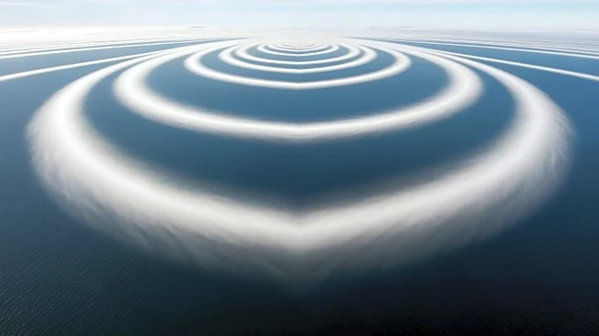
NASA's Landsat 8 satellite has captured a striking image of von Kármán vortex streets forming near Peter I Island in the Southern Ocean. This phenomenon occurs when strong winds, known as the Roaring Forties, encounter the island, creating a series of counterrotating
spirals in the clouds. The image, taken on February 11, 2026, showcases the island's icy landscape and the dynamic atmospheric conditions that prevail in this remote region. Peter I Island, an ice-cloaked volcano, is located in the Bellingshausen Sea and is known for its challenging ice conditions and limited scientific exploration.
Why It's Important?
The observation of von Kármán vortex streets provides valuable insights into atmospheric dynamics and the interaction between wind and topography. Such phenomena are not only visually captivating but also contribute to our understanding of weather patterns and climate processes in polar regions. The data collected by NASA's satellite missions, including Landsat 8, play a crucial role in monitoring Earth's climate and environmental changes. This information is vital for scientists studying the impacts of climate change, particularly in sensitive and remote areas like Antarctica, where changes can have global repercussions.
Beyond the Headlines
The remote location and harsh conditions of Peter I Island have limited scientific research, making satellite observations like these crucial for expanding our knowledge of the region. The island's geological and climatic history, recorded in its ice, offers a unique opportunity to study past climate conditions and predict future changes. As climate change continues to affect polar regions, understanding these dynamics becomes increasingly important for global climate models. The imagery also highlights the importance of international collaboration in space exploration and Earth observation, as data from missions like Landsat 8 are shared globally to advance scientific research.