





What's Happening?
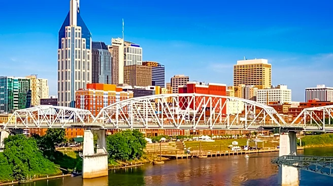
Nashville is currently experiencing dry weather with high temperatures in the low to mid-90s, and dewpoints in the mid-60s. This weather pattern is expected to continue through Tuesday and Wednesday. Meaningful rain chances are not anticipated to return
until Thursday evening, with a 50-60% probability of scattered showers and storms. Rainfall totals are projected to be between 0.25 and 0.5 inches. Low to medium rain chances are expected to persist into Friday and the weekend. While temperatures will cool slightly late in the week, they are still forecast to remain above normal. A significant cooldown is not expected this week.
Why It's Important?
The extended period of dry weather and above-normal temperatures in Nashville could have several implications. For residents, the continued heat necessitates precautions against heat-related illnesses and increased energy consumption for cooling. For local businesses, particularly those in outdoor recreation or hospitality, the dry conditions might be favorable, but the lack of a significant cooldown could impact consumer behavior. The anticipated return of rain, even in moderate amounts, is important for local water resources and could offer some relief from the dry spell. However, the scattered nature of the storms means that some areas might receive more precipitation than others, leading to localized impacts. The NWS Nashville's forecast indicates a persistent pattern of warmer-than-average conditions, which could influence agricultural activities and local ecosystems.
What's Next?
Residents and businesses in Nashville should prepare for continued warm and dry conditions for the next few days. The forecast indicates that rain chances will increase by Thursday evening and continue into the weekend, though the rainfall is expected to be scattered and moderate. Temperatures will see a slight dip towards the end of the week but will remain above seasonal averages. Individuals should monitor local weather updates for any changes in the forecast, especially regarding the timing and intensity of the anticipated showers and storms. No significant cool-down is on the immediate horizon, suggesting that the region will continue to experience warmer-than-normal weather for the foreseeable future.
Beyond the Headlines
The prolonged period of above-average temperatures and delayed significant rainfall in Nashville highlights broader climate trends that could affect urban planning and resource management. The consistent need for air conditioning due to sustained heat places a strain on the local power grid and contributes to higher energy costs for consumers. From an environmental perspective, extended dry spells can increase the risk of brush fires and impact local flora and fauna. The reliance on scattered showers for precipitation underscores the vulnerability of water supplies to unpredictable weather patterns. This situation could prompt discussions on long-term strategies for water conservation and infrastructure resilience in the face of changing climate conditions, influencing public policy and community preparedness efforts.