

What's Happening?
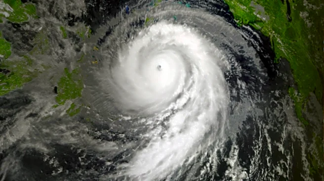
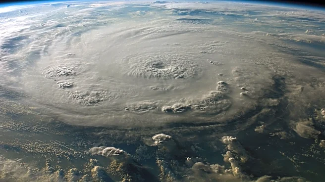
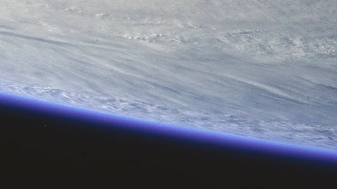
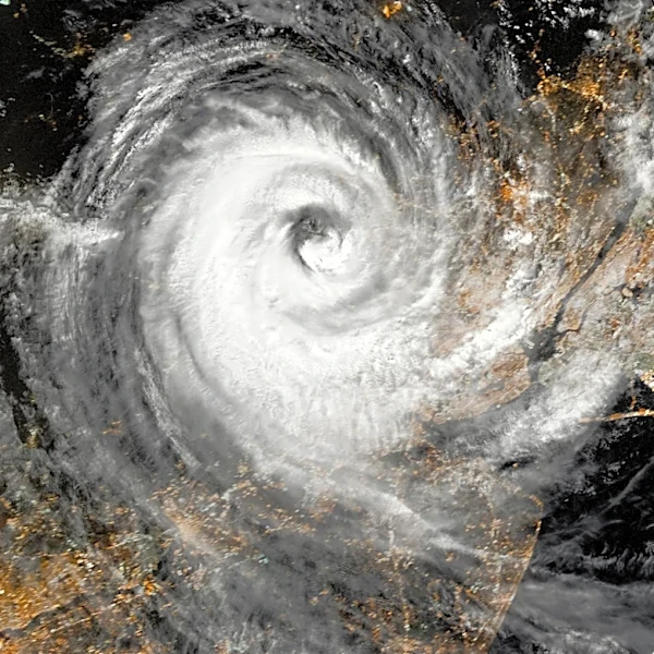
Tropical Storm Fausto has weakened into a post-tropical remnant low as it moves north of Hawaii. As of 5 a.m., the storm was located 285 miles north of Hilo and 225 miles northeast of Honolulu, with maximum sustained winds of 35 mph. Although Fausto no longer
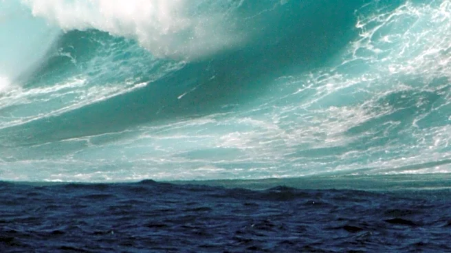
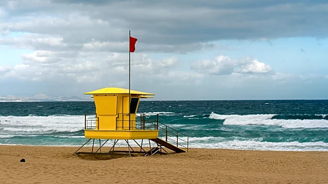
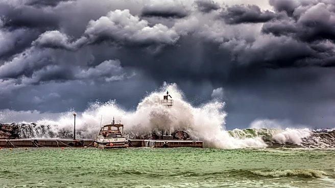
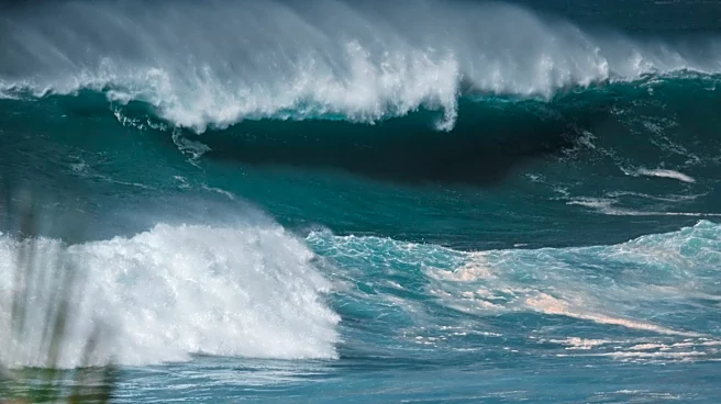
poses a direct threat, it continues to generate dangerous surf and strong currents along east-facing shores. The National Weather Service has issued a high surf advisory, warning of hazardous ocean conditions. Fausto is expected to dissipate into a trough by Friday.
Why It's Important?
The weakening of Tropical Storm Fausto reduces the immediate threat to Hawaii, but the storm's remnants still pose risks to coastal areas. The high surf and strong currents can endanger swimmers and beachgoers, highlighting the need for continued vigilance and adherence to safety advisories. The storm's impact on local weather patterns, including light winds and muggy conditions, also affects daily life and activities in Hawaii. This event underscores the importance of monitoring and preparing for tropical storms, even as they weaken.
What's Next?
As Fausto continues to weaken, weather conditions in Hawaii are expected to improve, with moderate tradewinds returning by tonight. A stronger high-pressure area developing northeast of Hawaii will bring breezy conditions into next week. The National Weather Service advises beachgoers to follow safety guidelines and remain cautious of ocean conditions. The return of tradewinds will help stabilize weather patterns, reducing humidity and focusing showers over windward areas.