







What's Happening?
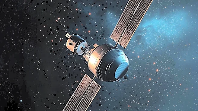
NASA's Jet Propulsion Laboratory in Southern California is testing a new spacecraft sensor designed to measure the rate at which Arctic sea ice is disappearing. This initiative is part of a broader effort to improve the accuracy of sea ice measurements
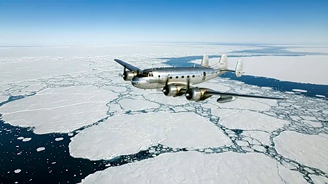
by combining data from airborne and satellite sources. In April 2026, researchers conducted a field campaign in the Canadian Arctic, using a World War II-era aircraft equipped with advanced sensors to measure sea ice thickness and snow depth. These flights were synchronized with satellite passes to ensure comprehensive data collection. The data gathered will enhance understanding of the Arctic's changing climate and support navigation, weather, and ocean research.
Why It's Important?
The Arctic region is experiencing significant changes due to climate warming, impacting global weather patterns, ecosystems, and economic activities. Accurate measurements of sea ice thickness are crucial for understanding these changes and their implications. As Arctic shipping routes become more accessible, the region's strategic and economic importance increases. The data collected by NASA will aid in developing better climate models and inform policy decisions related to environmental protection and resource management. This research also supports international collaborations, as it involves coordination with other space agencies and scientific institutions.
What's Next?
NASA plans to continue testing the new sensor and integrate it into future satellite missions. The ongoing collaboration with international partners will enhance the global understanding of Arctic changes. The data collected will be used to refine algorithms for current and future missions, ensuring that the scientific community has access to accurate and actionable information. As the Arctic environment continues to evolve, NASA's research will play a critical role in monitoring these changes and informing global climate policy.