



What's Happening?
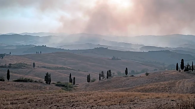
A real-time wildfire map is providing up-to-date information on thermal anomalies detected by satellites across Italy. This tool displays hotspots, indicating potential fires, with details such as coordinates, date/time, sensor data, and intensity. Users
can filter data by time range (up to 5 days), confidence level (low, medium, high), and Fire Radiative Power (FRP) threshold, which measures the energy radiated by the fire in megawatts. The map utilizes data from NASA FIRMS, incorporating both VIIRS (375m resolution for accuracy) and MODIS (1km resolution for historical coverage) satellite streams. Updates are automatic, with new hotspots appearing based on orbital passes and environmental conditions like cloud cover. The platform covers all Italian provinces, offering a comprehensive overview of fire activity.
Why It's Important?
This real-time wildfire monitoring system is crucial for public awareness and potentially for early response efforts in Italy. By providing immediate access to fire data, it allows residents and authorities to stay informed about potential threats, especially during high-risk periods. The ability to filter by confidence level and FRP helps distinguish between significant fires and minor thermal anomalies, improving the accuracy of information. While the map is an informational tool and not a substitute for official Civil Protection or Fire Brigade alerts, it serves as a valuable supplementary resource. Understanding the location and intensity of fires can aid in preparedness, resource allocation, and public safety decisions, particularly in regions prone to wildfires.
What's Next?
The continuous development of satellite technology and data processing is likely to enhance the accuracy and timeliness of such wildfire monitoring systems. Future improvements may include more sophisticated algorithms for distinguishing between actual wildfires and other heat sources, as well as better integration with ground-based reporting systems. There could also be increased efforts to educate the public on how to effectively use these tools for personal safety and awareness. As climate change continues to influence wildfire seasons, the demand for and reliance on real-time monitoring platforms are expected to grow, prompting further investment in their capabilities and accessibility across Italy and other affected regions.
Beyond the Headlines
The proliferation of real-time environmental monitoring tools like this wildfire map highlights a broader societal shift towards data-driven awareness and response to natural disasters. Ethically, it raises questions about data interpretation and the responsibility of users to consult official channels for operational decisions, as satellite data has inherent limitations (e.g., cloud cover, resolution). Legally, the use of open data from sources like NASA FIRMS underscores the importance of data sharing for public good. Culturally, these tools empower citizens with information, fostering a more proactive approach to environmental risks. Long-term, such systems could contribute to more effective land management policies, early warning systems, and public education campaigns aimed at preventing wildfires and mitigating their impact.