





What's Happening?
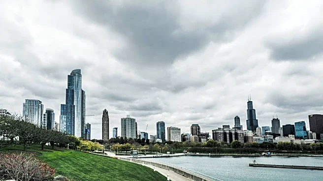
Chicago recorded a new historical high minimum temperature on November 3, with the low reaching an exceptionally mild 61 degrees Fahrenheit. This surpassed the previous record of 60 degrees Fahrenheit set in 1975 for the same date. Following this record-breaking
warmth, a cold front is moving through the area, bringing cooler temperatures and showers. On November 4, showers are expected to dissipate by lunchtime, with temperatures falling from the 60s into the 50s during the afternoon. The evening will be mostly cloudy, breezy, and cooler, with lows in the upper 40s. The forecast for Thursday and Friday indicates mostly cloudy skies with highs in the mid-50s and a slight chance of light, spotty showers. The weekend is anticipated to be sunny with highs in the mid-50s, and a new warming trend is expected to begin on Monday, with temperatures potentially reaching 60 degrees Fahrenheit or higher.
Why It's Important?
The significant temperature fluctuation in Chicago, from a record mild low to a sharp cooldown, highlights the dynamic nature of weather patterns in the region. Such shifts can impact daily life, affecting energy consumption for heating and cooling, as well as outdoor activities and local commerce. For residents, understanding these changes is crucial for planning and preparedness, from clothing choices to commuting conditions. The brief period of unseasonable warmth followed by a return to cooler, more typical November weather can also influence public perception of climate trends, even if individual weather events are not direct indicators of long-term climate change. Businesses reliant on outdoor activities or specific weather conditions, such as construction or tourism, may need to adjust operations accordingly.
What's Next?
Chicago residents can expect a continued cooldown through the end of the week, with temperatures remaining in the 50s. Showers are predicted to be light and sporadic on Thursday and Friday. The weekend forecast offers a more pleasant outlook with plenty of sunshine and moderate temperatures in the mid-50s, providing an opportunity for outdoor activities. Looking into the following week, a warming trend is anticipated, with temperatures potentially climbing back into the 60s starting Monday. This suggests a return to milder conditions after the current cold front passes. Residents should monitor local forecasts for any updates, especially regarding precipitation and wind conditions, to plan their activities accordingly.
Beyond the Headlines
The occurrence of a record-breaking mild low temperature, even if followed by a cooldown, contributes to broader discussions about climate variability and long-term weather trends. While a single record does not definitively prove climate change, it adds to a growing pattern of unusual weather events observed globally. Such events can influence public discourse on environmental policies and sustainable practices. From an urban planning perspective, these temperature swings underscore the need for resilient infrastructure capable of handling diverse weather conditions, including potential heat stress and sudden cold snaps. Furthermore, the impact on local ecosystems, such as plant life and migratory bird patterns, could be subtle but significant, warranting ongoing observation and research.