







What's Happening?
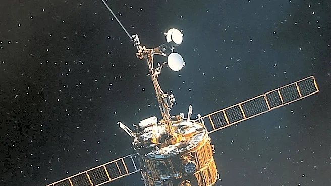
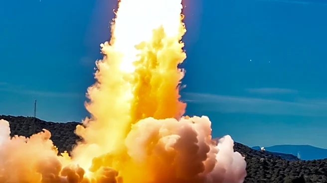
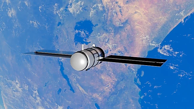
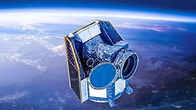
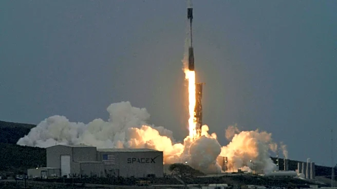
The Earth Fire Alliance has launched the first three operational satellites of the FireSat system from Vandenberg Space Force Base in California. These satellites are designed to detect, monitor, and respond to wildfires globally, including in California. Developed
in collaboration with Muon Space, the FireSat satellites can detect fires as small as 5-by-5 meters and see through smoke and clouds. The system aims to provide data across every fire-prone region, with plans to expand the constellation by 2029. FireSat will deliver data at an hourly rate, offering fire agencies a fresh look at landscapes twice every 24 hours.
Why It's Important?
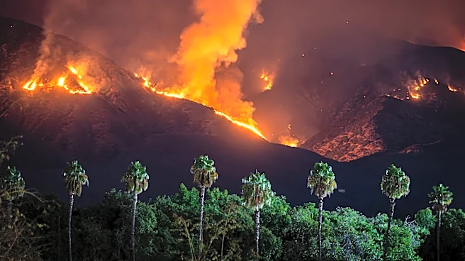
The deployment of FireSat satellites represents a significant advancement in wildfire management, offering real-time data to improve detection and response efforts. This technology is crucial for regions like California, which have experienced severe wildfires in recent years. By providing detailed metrics on fire perimeter, progression, and intensity, FireSat can enhance the capabilities of firefighting agencies, potentially reducing the impact of wildfires on communities and ecosystems. The initiative reflects a broader trend towards leveraging technology for environmental management and disaster response.
What's Next?
As the FireSat constellation expands, it will provide more comprehensive coverage and data to fire agencies worldwide. Early adopters, including Cal Fire and agencies in Colorado, Australia, and Portugal, will benefit from this enhanced capability. The success of FireSat could lead to further collaborations between technology companies and environmental organizations, driving innovation in wildfire management. Additionally, the data collected by FireSat could inform public policy and resource allocation, supporting efforts to mitigate the effects of climate change and protect vulnerable regions.