


What's Happening?
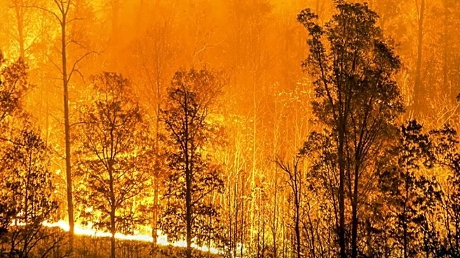
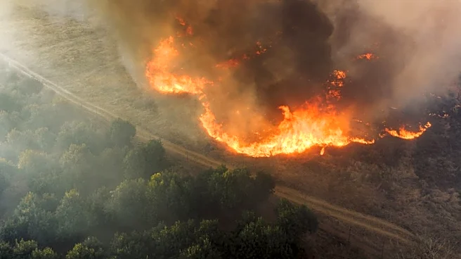
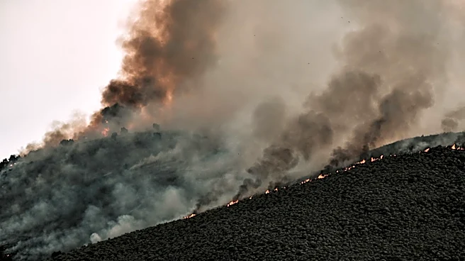
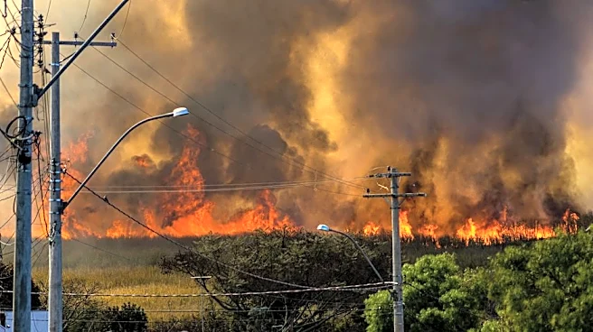
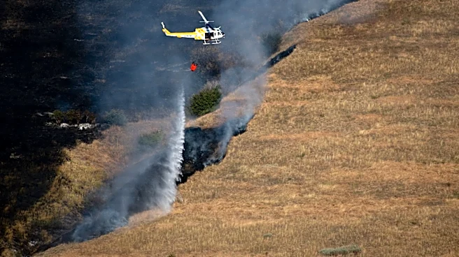
Montana is experiencing a shift in weather patterns, with cooler and wetter conditions expected for the remainder of the week. A cold front is moving through the region, bringing cleaner air and reducing the haze caused by wildfire smoke. The Montana Department
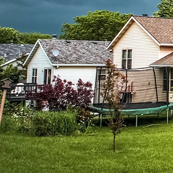
of Environmental Quality has issued an air quality alert, but improvements are anticipated as the front progresses. Scattered showers and thunderstorms are forecasted, particularly in central and north-central Montana, which may lead to localized flash flooding in areas with recent burn scars. Temperatures are expected to remain below average, with highs in the 60s and 70s, before warming up over the weekend.
Why It's Important?
The change in weather conditions is significant for Montana residents, as it brings relief from the persistent smoke and poor air quality that have affected the region. Improved air quality will benefit public health, particularly for sensitive groups such as individuals with respiratory issues. The anticipated rainfall could help mitigate the spread of wildfires, although it also poses a risk of flash flooding in vulnerable areas. This weather shift highlights the complex interplay between natural weather patterns and the ongoing challenges posed by wildfires, emphasizing the need for adaptive strategies in managing both immediate and long-term environmental impacts.
What's Next?
As the weather system moves through Montana, continued monitoring of air quality and weather conditions will be essential. Authorities may issue additional alerts or advisories as needed to inform the public about potential hazards such as flash flooding. The expected warming trend over the weekend could lead to a resurgence of wildfire activity, necessitating ongoing vigilance and preparedness. Residents and local agencies will need to remain adaptable to changing conditions, balancing the benefits of rainfall with the risks of flooding and the potential for renewed fire threats.