






What's Happening?
The National Oceanic and Atmospheric Administration (NOAA) has updated its forecast, indicating an 81% chance that the current El Niño will reach 'very strong' levels by fall. This development is expected to significantly influence global weather patterns,
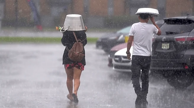
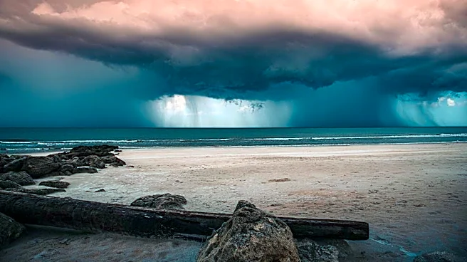
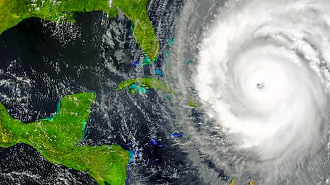
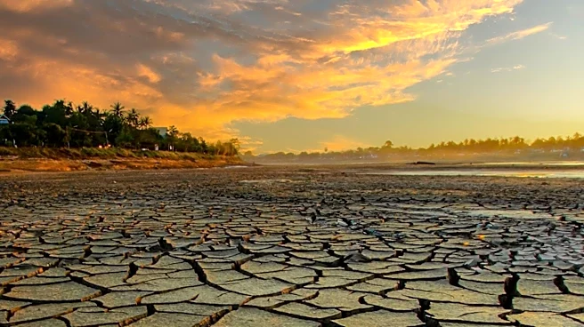
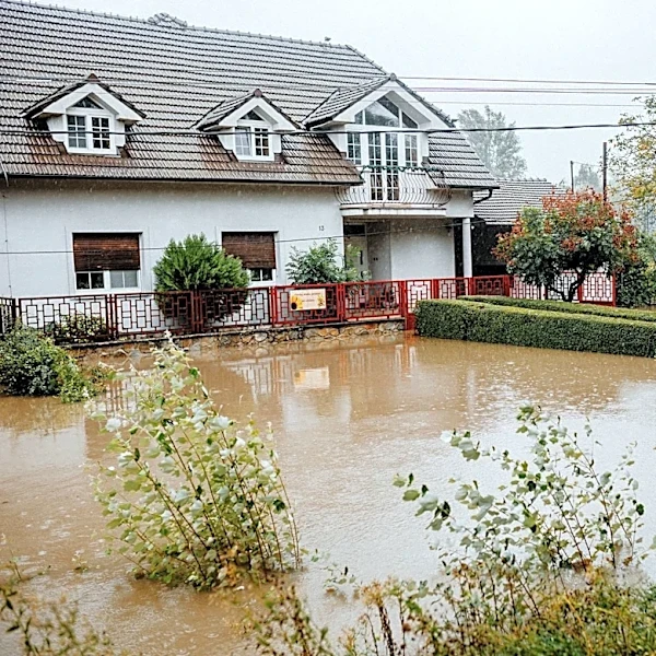
potentially leading to extreme weather conditions such as heat waves, droughts, and heavy rainfall in various regions. The El Niño phenomenon, characterized by warmer than average water temperatures in the central Pacific Ocean, alters atmospheric circulation and can greatly influence global weather. Historically, strong El Niño events have been associated with fewer hurricanes in the Atlantic but increased hurricane activity in the Pacific.
Why It's Important?
The strengthening El Niño is poised to have widespread impacts on weather patterns across the United States and globally. In the U.S., it typically results in a warmer winter for the northern regions and drier conditions for the northern Rockies and Ohio and Tennessee valleys. The event is also expected to reduce the number of hurricanes and tropical storms in the 2026 Atlantic hurricane season. For California, a very strong El Niño is likely to bring a wetter-than-average winter, which could pose challenges in managing water resources after years of drought. The broader implications include potential disruptions in agriculture, water management, and disaster preparedness.
What's Next?
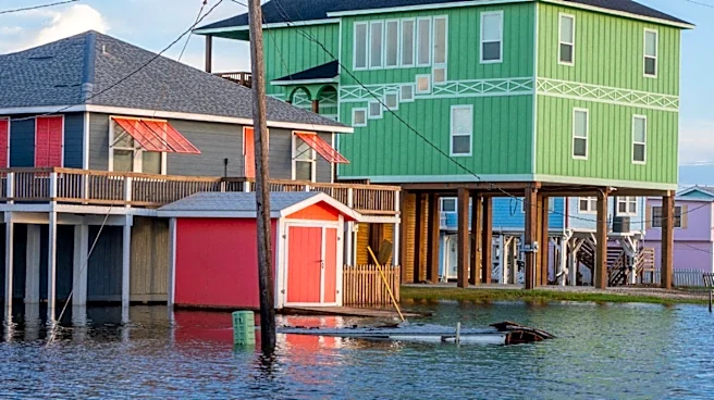
As the El Niño event develops, stakeholders such as government agencies, farmers, and emergency services will need to prepare for its potential impacts. This includes adjusting agricultural practices, managing water resources, and enhancing disaster preparedness plans. NOAA and other meteorological organizations will continue to monitor the situation and provide updates as the event progresses. The potential for reduced hurricane activity in the Atlantic may also influence insurance and emergency response strategies in hurricane-prone areas.