


What's Happening?
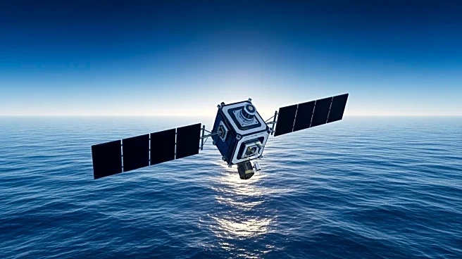
The Sentinel-6B satellite, part of the US-EU collaboration, is set to launch on November 17, continuing a decades-long record of sea level measurement. This satellite will provide crucial data for managing coastal flooding, supporting hurricane forecasts,
and aiding astronaut returns from space. Sentinel-6B will work alongside its predecessor, Sentinel-6 Michael Freilich, to deliver comprehensive ocean data. The mission involves NASA, ESA, EUMETSAT, NOAA, and CNES, pooling resources and expertise to advance global sea level monitoring.
Why It's Important?
Sentinel-6B's data is vital for improving public safety, city planning, and protecting infrastructure from rising sea levels. The satellite's observations will enhance weather prediction models, aiding disaster preparedness and response. By providing accurate sea level measurements, the mission supports efforts to mitigate the impacts of climate change on coastal communities and industries. The collaboration exemplifies international cooperation in addressing global environmental challenges.
What's Next?
Following its launch, Sentinel-6B will undergo data cross-calibration with Sentinel-6 Michael Freilich, ensuring continuity and accuracy in sea level monitoring. The satellite's data will be integrated into weather and ocean models, informing decision-makers on coastal management and climate adaptation strategies. As the mission progresses, stakeholders will assess its impact on environmental policies and infrastructure planning.
Beyond the Headlines
The Sentinel-6B mission highlights the importance of international partnerships in advancing scientific research and technology. By combining resources and expertise, the collaboration enhances global understanding of climate dynamics and supports sustainable development. The mission's success could inspire further cooperative efforts in addressing environmental issues, fostering innovation and resilience in the face of climate change.