


What's Happening?
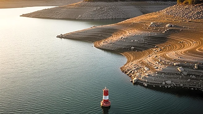
A recent study published in Nature highlights that many of the world's largest river deltas are subsiding at a rate faster than the rise in global sea levels, putting hundreds of millions of people at risk. The research, led by Leonard Ohenhen from the University
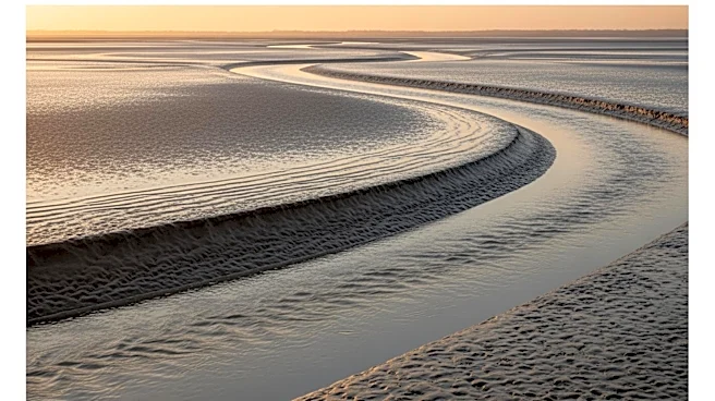
of California, Irvine, and overseen by Virginia Tech geoscientists, provides a detailed analysis of elevation loss across 40 river deltas worldwide. The study identifies intensive groundwater extraction, a decline in sediment carried by rivers, and rapid urban development as primary drivers of this trend. The research utilized advanced satellite radar systems to measure changes in surface elevation, revealing that in 18 of the 40 deltas studied, subsidence exceeds local sea-level rise, increasing flood risk for over 236 million people.
Why It's Important?
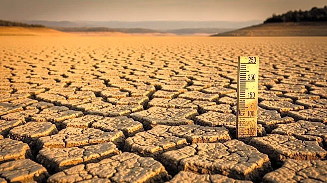
The findings of this study have significant implications for global populations living in delta regions, particularly in terms of increased flood risk. As subsidence outpaces sea-level rise, the potential for catastrophic flooding events grows, threatening lives, infrastructure, and economies. The study underscores the urgent need for sustainable management of groundwater resources and sediment flow to mitigate these risks. The research also highlights the role of human activity in accelerating subsidence, suggesting that policy changes and improved land-use practices could help address the issue. This is particularly relevant for U.S. regions like the Mississippi Delta, where similar challenges are present.
What's Next?
The study suggests that addressing the issue of delta subsidence will require coordinated efforts to manage groundwater extraction and sediment flow. Policymakers and environmental agencies may need to implement stricter regulations on groundwater use and invest in infrastructure to support sediment transport. Additionally, there may be a need for increased investment in flood defense systems to protect vulnerable populations. The research also calls for further studies to monitor subsidence rates and develop predictive models to better understand future risks.