


What's Happening?
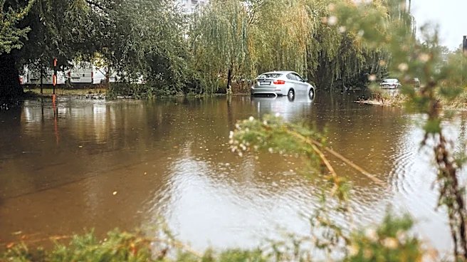
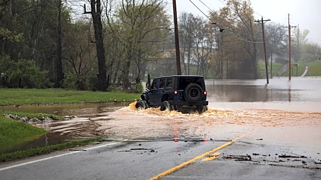
Large areas of Texas are currently under flood and flash flood warnings due to significant rainfall across the state. The National Weather Service (NWS) has issued these warnings primarily for South-Central Texas, including major cities like Austin and San
Antonio, as well as surrounding counties. The warnings are in response to slow-moving thunderstorms and very humid tropical air, which have resulted in heavy rainfall and rising waterways. In central El Paso County, nearly stationary thunderstorms have created dangerous conditions, particularly in east El Paso and Fort Bliss. In counties such as Blanco, Burnet, and Llano, 2 to 4 inches of rain have already fallen, with more expected. The NWS warns that flash flooding of creeks, streams, urban areas, highways, and streets is likely, urging residents to take immediate action and move to higher ground.
Why It's Important?
The flooding poses significant risks to both urban and rural areas in Texas, potentially leading to road closures, travel disruptions, and overwhelmed drainage systems. The rapid rise of creeks and rivers could result in flash flooding with little warning, affecting communities and infrastructure. The situation underscores the vulnerability of Texas to severe weather events, which can have widespread impacts on safety, transportation, and local economies. The NWS's warnings highlight the need for preparedness and immediate response to mitigate the risks associated with such natural disasters.
What's Next?
The NWS forecasts that the flood risk could persist through Tuesday evening, particularly in Central Texas, as additional storms may bring more heavy rain. However, conditions are expected to improve later in the week, with drier weather and rising temperatures anticipated by Wednesday. Residents are advised to stay informed through official updates and weather alerts, and to exercise caution, especially at night when floodwaters are harder to detect.