


What's Happening?
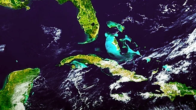
The U.S. Geological Survey (USGS) has released a new satellite map as part of the America 250 commemoration, showcasing dramatic changes in the U.S. landscape since 1976. The map, created using data from Landsat 8 and 9 satellites, highlights environmental
changes over the past 50 years, including the shrinking of the Great Salt Lake and shifts in vegetation. The map serves as a visual representation of the nation's evolving geography and underscores the impact of climate change and human activity on the environment.
Why It's Important?
This new map provides valuable insights into the environmental changes that have occurred in the U.S. over the last half-century. It highlights the effects of climate change, such as the shrinking Great Salt Lake, and the importance of sustainable water management. The map also emphasizes the role of satellite imagery in monitoring environmental changes and informing policy decisions. As the U.S. prepares for its 250th anniversary, this map serves as a reminder of the need for continued environmental stewardship and adaptation to changing conditions.
What's Next?
Looking ahead, the USGS and NASA plan to launch Landsat 10 in 2031, continuing the long-term monitoring of Earth's land surface. This ongoing effort will provide critical data for understanding and addressing environmental challenges. The new map may also inspire further research and policy initiatives aimed at mitigating the impacts of climate change and promoting sustainable land use practices.