






What's Happening?
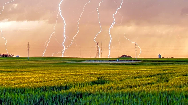
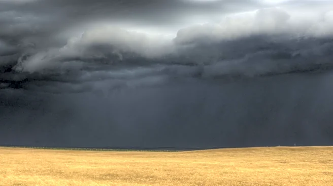
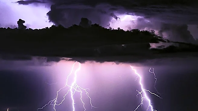
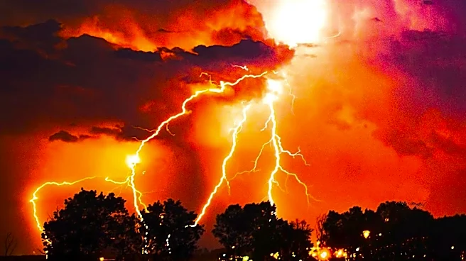
According to WCCO meteorologist Chris Shaffer, scattered showers and isolated thunderstorms are anticipated to continue into the night across Minnesota on July 7, 2026. The weather conditions are part of a broader system affecting the region, with the potential
for localized heavy rainfall and gusty winds. Residents are advised to remain vigilant and monitor weather updates as the situation develops. The forecast suggests that while the storms may not be widespread, they could still pose challenges for those in affected areas.
Why It's Important?
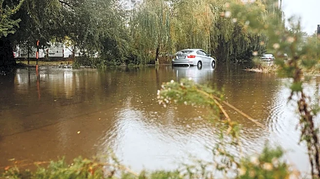
The presence of scattered showers and thunderstorms can lead to localized flooding, especially in areas with poor drainage. This can impact travel and daily activities, making it important for residents to plan accordingly. The potential for isolated thunderstorms also raises concerns about power outages and damage to infrastructure. By staying informed and prepared, communities can better manage the risks associated with these weather events. The situation highlights the need for effective communication and coordination among local authorities, emergency services, and the public.
What's Next?
As the night progresses, meteorologists will continue to track the weather system and provide updates on any changes in its behavior. Residents should remain alert to any advisories or warnings issued by local authorities. It is advisable to have emergency supplies ready and to secure any outdoor items that could be affected by strong winds. Community members are encouraged to check on neighbors, particularly those who may be more vulnerable to the effects of severe weather. The focus will be on ensuring public safety and minimizing disruptions.