
What's Happening?
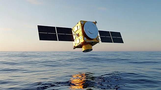
NASA, in collaboration with European partners, has released the first data from the Sentinel-6B satellite, which was launched in November. The satellite is part of a mission to monitor sea levels across
90% of the world's oceans. The initial data shows sea levels along the Eastern Seaboard and the Atlantic Ocean, with red areas indicating higher water levels and blue areas indicating lower levels. Sentinel-6B is equipped with advanced instruments to measure ocean height, wind speeds, wave heights, and atmospheric conditions.
Why It's Important?
The data from Sentinel-6B is crucial for improving marine forecasting, national security, and understanding climate change impacts. Accurate sea level measurements are vital for coastal communities, as they inform infrastructure planning and disaster preparedness. The mission continues a decades-long effort to track ocean height, providing essential data for scientists and policymakers. The collaboration between NASA and European agencies highlights the importance of international partnerships in addressing global challenges.
What's Next?
Sentinel-6B will undergo further calibration of its instruments to ensure data accuracy. Once fully operational, it will provide continuous sea level data, contributing to long-term climate monitoring efforts. The satellite's data will be used to refine atmospheric models and improve weather forecasting. As the mission progresses, it will enhance our understanding of ocean dynamics and their impact on global climate patterns.