








What's Happening?
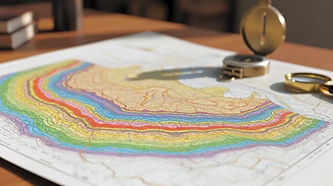
Geological maps are crucial for understanding landscapes, resource distribution, and planetary processes, as highlighted in a recent Nature Geoscience paper. These maps inform decisions on infrastructure development, resource management, and hazard assessment.
In Australia, geological mapping supports groundwater discovery and mineral exploration. However, inconsistencies in data standards and terminology hinder large-scale integration. The paper emphasizes the need for harmonized mapping approaches and standardized digital datasets to improve accuracy and utility. This is particularly important in extreme environments and for planetary exploration, where traditional fieldwork is challenging.
Why It's Important?
Geological maps play a vital role in various sectors, including natural resource management, environmental protection, and space exploration. Accurate and consistent mapping is essential for informed decision-making, particularly as demand for critical minerals and space exploration accelerates. By addressing inconsistencies in mapping standards, researchers can enhance the utility of geological maps, supporting sustainable development and exploration efforts. This work underscores the importance of collaboration across disciplines and the integration of advanced sensing technologies to improve mapping accuracy and reliability.