




What's Happening?
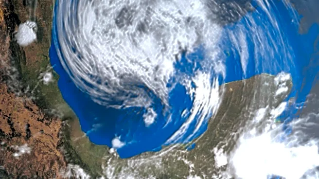
A tropical system is highly likely to form in the Gulf of Mexico this week, despite the ongoing El Niño phenomenon. This developing system has the potential to bring several inches of rain and significant flash flooding to parts of the U.S. Gulf Coast,
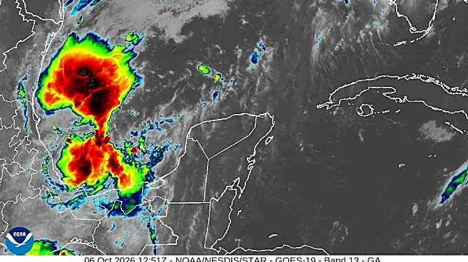
specifically targeting Louisiana, Mississippi, Alabama, Georgia, the Florida Panhandle, and southeast Louisiana. The National Hurricane Center indicates that chances are increasing for an area of stormy weather in the Gulf’s Bay of Campeche to develop into a tropical depression or storm by midweek. While the exact strength and trajectory remain uncertain, the Gulf's record-warm waters are conducive to storm formation and intensification, though atmospheric conditions could limit its overall strength. Three potential scenarios are being monitored: the system forms but weakens before reaching the coast, heavy rain occurs without a formal tropical system, or Tropical Storm Isaias forms and makes landfall, bringing strong winds and storm surge in addition to heavy rain. Downpours could begin along the coast as early as Friday and extend inland through the weekend.
Why It's Important?
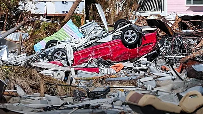
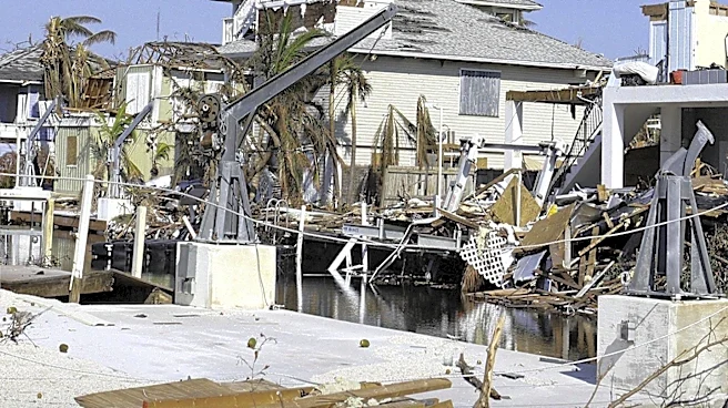
This developing tropical system poses a significant threat to the U.S. Gulf Coast, an area frequently impacted by severe weather events. The potential for several inches of rain and flash flooding could lead to widespread disruptions, including property damage, infrastructure strain, and public safety concerns. Communities in Louisiana, Mississippi, Alabama, Georgia, and the Florida Panhandle could face evacuations and require emergency services. The economic impact could be substantial, affecting local businesses, agriculture, and tourism. Furthermore, the occurrence of a significant tropical system despite El Niño, which typically suppresses Atlantic hurricane activity, highlights the complex and evolving nature of weather patterns in a warming world. This event underscores the need for robust disaster preparedness and response mechanisms in coastal regions, as even non-hurricane strength systems can cause severe impacts due to increased rainfall intensity.
What's Next?
Authorities and residents along the U.S. Gulf Coast are advised to closely monitor forecasts from the National Hurricane Center as the tropical system develops. The precise location and severity of potential storm surge flooding and strong winds will become clearer as the system forms and its track is better defined. Emergency management agencies will likely issue watches and warnings, and residents in vulnerable areas should prepare for possible evacuations. The downpours are expected to begin along the coast by Friday and continue inland through the weekend, necessitating preparations for heavy rainfall and flash flooding. Local governments will activate emergency response plans, including deploying resources for water rescues and managing floodwaters. The situation will require continuous assessment and adaptation as meteorological conditions evolve over the coming days.
Beyond the Headlines
The formation of a potentially impactful tropical system in the Gulf of Mexico, even during an El Niño year, points to broader implications regarding climate change and its influence on weather patterns. A warming world is contributing to tropical systems becoming wetter, meaning that even storms below hurricane strength can cause significant and destructive flooding. This trend challenges traditional understandings of hurricane season severity and emphasizes the need for communities to prepare for increased rainfall intensity, regardless of a storm's category. The event also highlights the vulnerability of coastal ecosystems and infrastructure to more frequent and intense rainfall events, potentially leading to long-term environmental degradation and increased costs for adaptation and resilience measures. The focus on heavy rain and flash flooding, rather than just wind speed, reflects a critical shift in how tropical weather threats are assessed and communicated to the public.