



What's Happening?
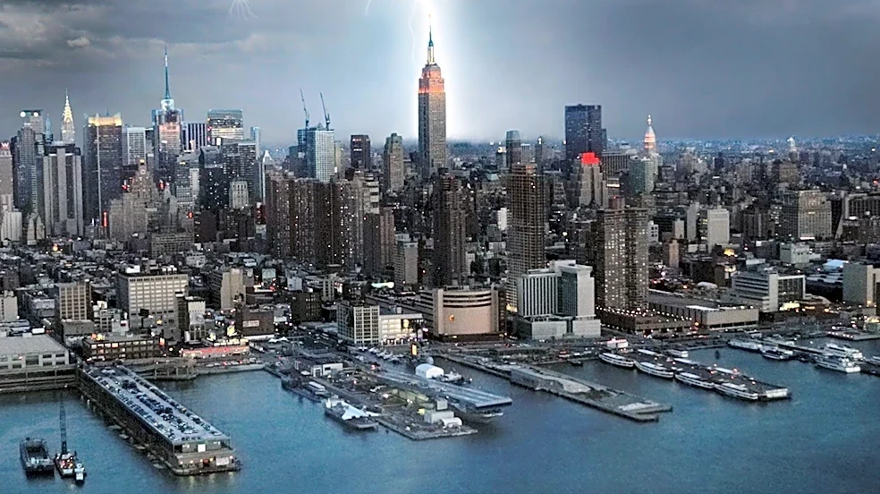
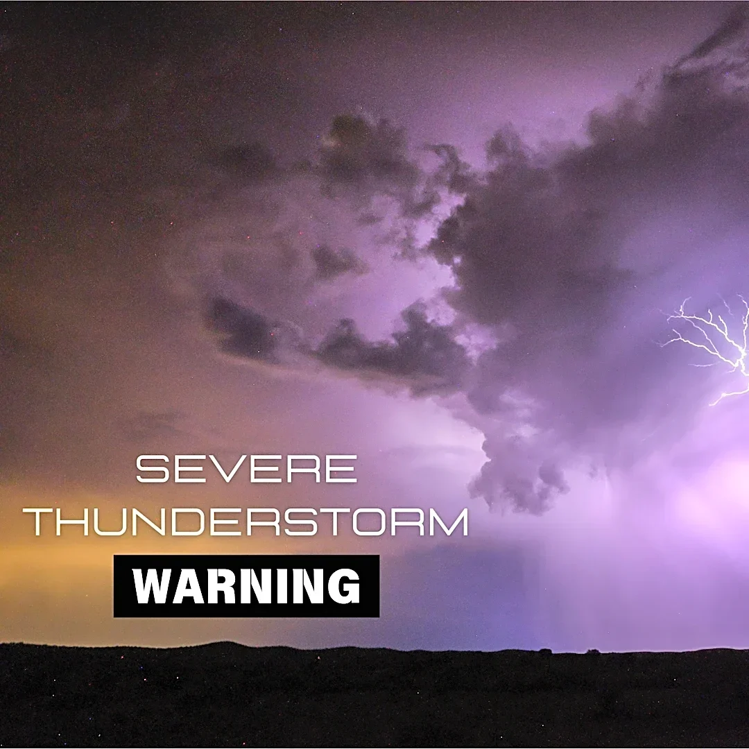
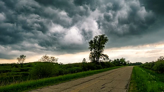
A potent cold front is expected to move through the tri-state area on Friday night, bringing a line of strong to severe storms. These storms are anticipated to produce destructive wind gusts, particularly west of New York City, with isolated tornadoes
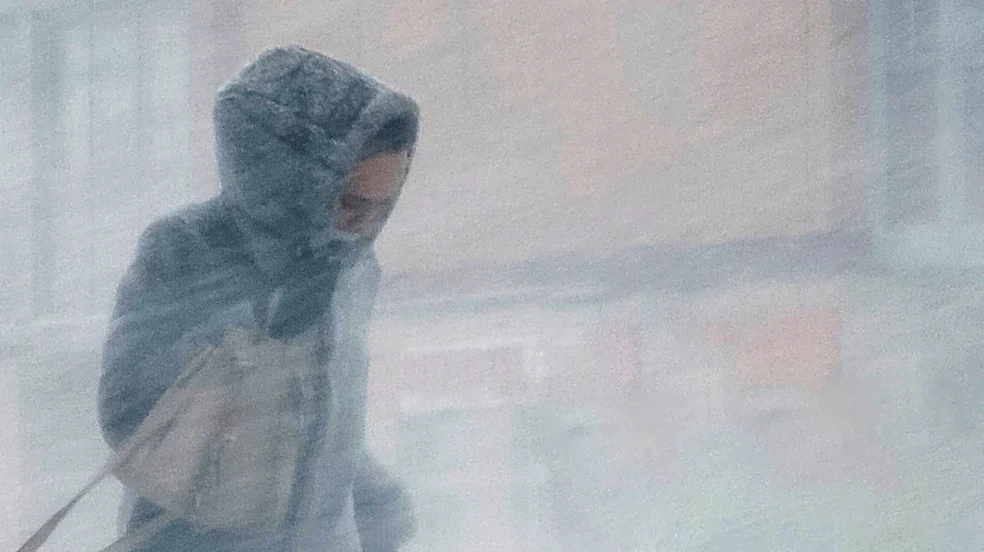
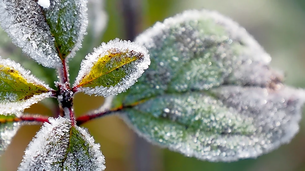
possible further west in areas like the Delaware Water Gap and Pennsylvania. The storms are projected to reach the Catskills and Poconos between 5 p.m. and 6 p.m., arriving in the New York City area by approximately 8 p.m. They will be fast-moving, with gusty winds, lightning, and heavy downpours lasting only about 20 to 30 minutes per neighborhood. Following the storms, much cooler air will settle in for the weekend, with Saturday temperatures in the low 50s and Sunday experiencing chilly, November-like weather with morning lows in the upper 30s and afternoon highs in the mid-50s in NYC.
Why It's Important?
This weather event is significant for the tri-state area as it poses immediate safety concerns due to strong winds and potential tornadoes, which can cause power outages, property damage, and disrupt transportation. The rapid shift to much colder temperatures after the storms could also impact vulnerable populations, requiring adjustments in heating and outdoor activities. For businesses, particularly those in retail and hospitality, the severe weather and subsequent cold snap could affect customer traffic and outdoor operations. The forecast highlights the unpredictable nature of fall weather patterns and the need for residents and local authorities to be prepared for sudden changes, emphasizing the importance of timely weather alerts and emergency preparedness measures. The shift to colder temperatures also marks the unofficial start of the colder season, impacting energy consumption and outdoor event planning.
What's Next?
Residents in the affected areas are advised to monitor weather updates from Storm Team 4 and local authorities. Preparations should include securing outdoor items, having emergency kits ready, and planning for potential power outages. The storms are expected to exit the region by late evening and overnight, paving the way for a clear but cold weekend. Temperatures are predicted to moderate to the low and mid-60s with dry skies throughout the following week. This suggests that while the immediate impact will be severe, the region can expect a return to more stable weather conditions shortly after the cold front passes. Local emergency services will likely be on standby to respond to any storm-related incidents.
Beyond the Headlines
Beyond the immediate weather impacts, this event underscores broader climate trends and the increasing frequency of extreme weather phenomena. While a single storm cannot be directly attributed to climate change, the pattern of intense, fast-moving systems followed by dramatic temperature drops aligns with projections of more volatile weather. This necessitates long-term infrastructure planning and community resilience strategies to mitigate the effects of such events. The reliance on accurate and timely weather forecasting, as provided by Storm Team 4, becomes even more critical in protecting lives and property. Furthermore, the event serves as a reminder of the interconnectedness of weather systems and their far-reaching effects on daily life, from commuting to energy demands and public safety.