




What's Happening?
The Government of India, in collaboration with the Union Territory administration of Ladakh, has officially standardized the names of 28 geographical features and places within the region on the Survey of India's official maps. This initiative, announced
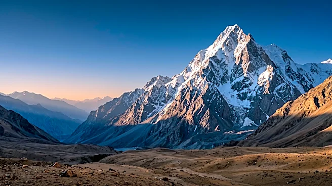
by the Union Ministry of Home Affairs (MHA), aims to ensure consistent and accurate identification of these locations and to enhance public awareness regarding their names and geographical importance. The standardized features encompass a variety of geographical elements, including peaks, mountains, passes, glaciers, valleys, rivers, lakes, water bodies, and land areas. Notable inclusions are peaks like Atisha Giri and Shiva Ri, mountains such as Karun Pir, passes like Chapchingal Pass, glaciers including Parpik, and land areas like Gogra and Hot Spring. The formalization also acknowledges the cultural and historical significance of several sites, with some peaks named after prominent Buddhist figures and others drawing from Hindu deities.
Why It's Important?
This standardization is crucial for administrative and cartographic purposes within the strategically sensitive Ladakh region. By establishing uniform nomenclature, the government seeks to eliminate variations in spelling and usage, providing a consistent reference for various government agencies, mapping authorities, and official records. The inclusion of locations like Gogra and Hot Spring is particularly significant, as these are areas of administrative and strategic importance along the region's sensitive frontier. A unified and accurate geographical understanding is vital for effective governance, resource management, and security operations in a region that shares borders with neighboring countries. This move can streamline communication and coordination among different governmental bodies and improve the precision of geographical data used for planning and policy implementation.
What's Next?
The formalization of these names on Survey of India maps is a definitive step. Going forward, all official communications, maps, and records pertaining to Ladakh are expected to adhere to these standardized names. This will likely lead to updates in various government documents, educational materials, and public information systems. The MHA's stated goal of improving public awareness suggests potential outreach efforts to familiarize citizens with the standardized nomenclature. Furthermore, the consistent geographical references for strategically important areas could influence future administrative decisions, infrastructure development, and security protocols in the region. The long-term impact will be a more coherent and unified approach to understanding and managing the geographical landscape of Ladakh.
Beyond the Headlines
Beyond the immediate administrative benefits, the standardization of names in Ladakh carries deeper implications for national identity and cultural preservation. By formally recognizing names associated with prominent Buddhist figures and Hindu deities, the government is reinforcing the rich cultural and historical tapestry of the region. This act can contribute to a stronger sense of belonging and cultural pride among the local population. Moreover, in a region with geopolitical sensitivities, clear and undisputed geographical references can play a role in international relations and border management. The move underscores the government's commitment to asserting its cartographic authority and ensuring that its official maps accurately reflect its territorial claims and cultural heritage. This initiative could also set a precedent for similar standardization efforts in other culturally or strategically significant regions.