



What's Happening?
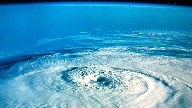
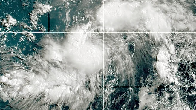
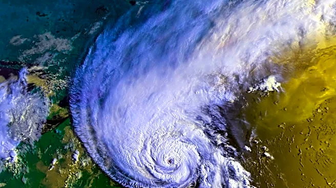
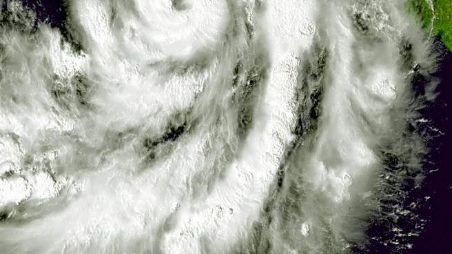
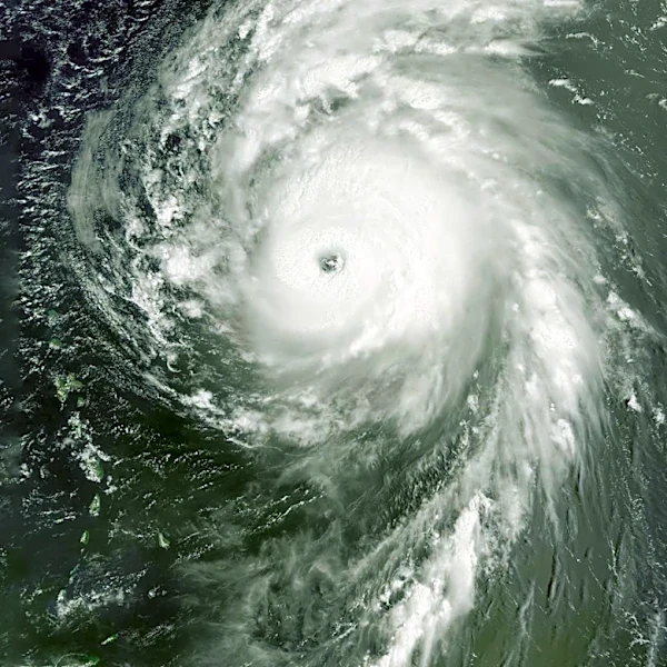
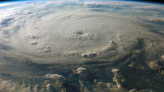
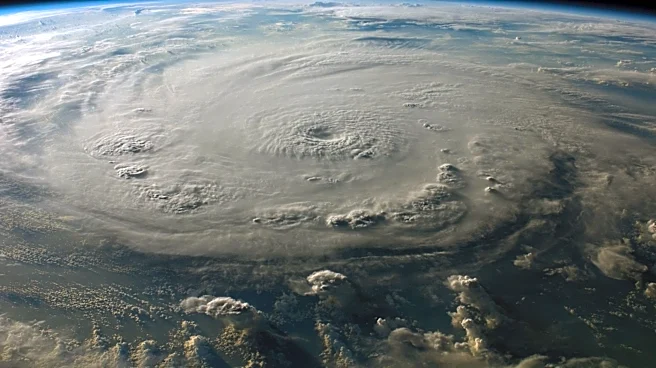
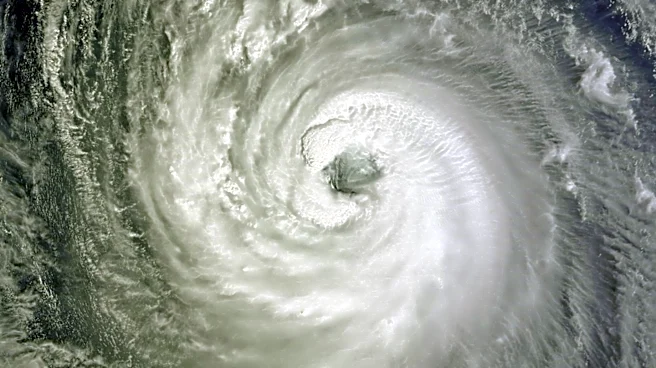
Hurricane Fausto, a Category 2 storm, is forecast to pass near the Hawaiian Islands early next week. The National Weather Service (NWS) has reported that the hurricane is currently moving westward with maximum sustained winds of 100 mph. Although the storm is expected
to weaken as it approaches Hawaii, there remains uncertainty about its exact path and strength. Spaghetti models suggest that Fausto could skim north of the islands, potentially reaching the Big Island by Tuesday evening. The NWS has warned that even a slight shift in the storm's track could result in stronger winds and heavier rainfall. Additionally, swells generated by Fausto are expected to create life-threatening surf and dangerous rip currents, with these conditions anticipated to reach Hawaii before the storm itself.
Why It's Important?
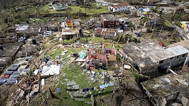
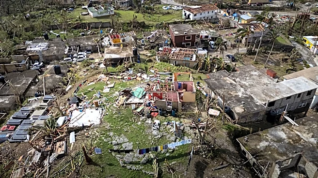
The approach of Hurricane Fausto poses significant risks to the Hawaiian Islands, including potential damage from high winds, heavy rainfall, and hazardous surf conditions. The uncertainty surrounding the storm's path and intensity means that residents must remain vigilant and prepared for possible impacts. The economic implications are also notable, as disruptions to tourism and local businesses could occur if the storm causes significant damage. Furthermore, the storm serves as a reminder of the importance of hurricane preparedness, especially given the forecast for increased tropical cyclone activity this season.
What's Next?
Residents of Hawaii are being urged to review their hurricane preparedness plans and ensure they have adequate supplies, including food, water, and medication. Local officials are closely monitoring the storm's development and will provide updates as more information becomes available. The NWS will continue to track Fausto's progress and issue advisories to help residents and emergency personnel prepare for any potential impacts. The situation underscores the need for ongoing vigilance and readiness in the face of natural disasters.