





What's Happening?
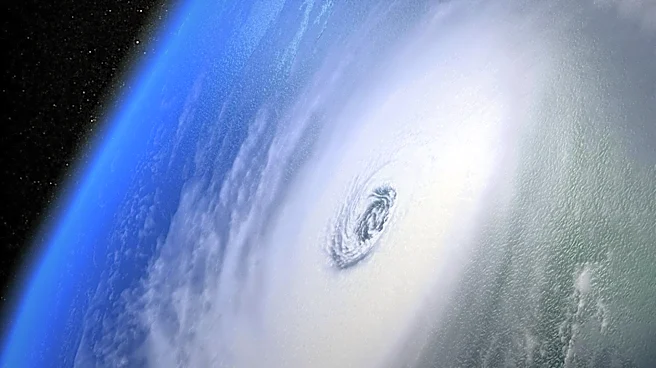
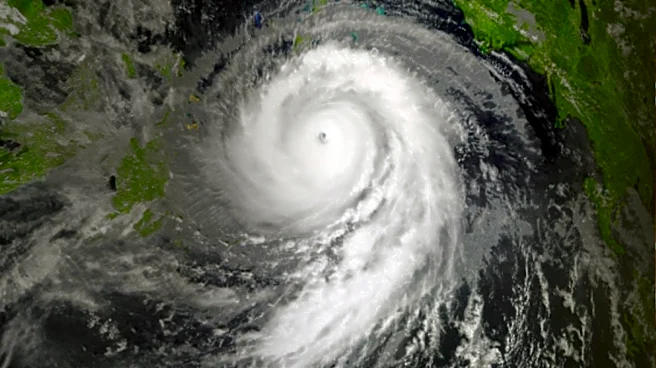
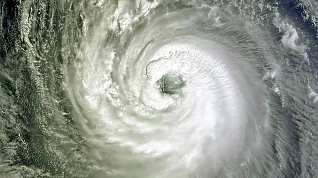
Typhoon Dolphin, currently located east of Iwo To, is moving west-northwestward and is expected to continue on this path due to the influence of a subtropical ridge. The typhoon is forecasted to weaken gradually as it encounters lower ocean heat content
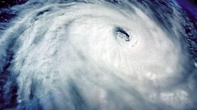
and undergoes an eyewall replacement cycle. This weakening trend is expected to persist over the next few days, with the typhoon's forward motion slowing as it approaches the Ryukyu Islands. The structural changes from the eyewall replacement cycle are likely to expand the wind field, increasing hazards far from the storm center.
Why It's Important?
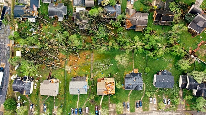
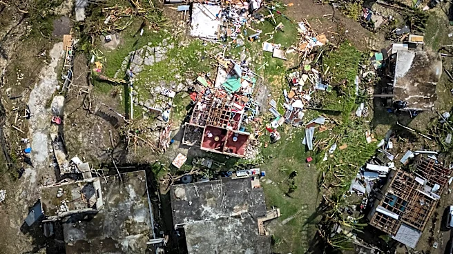
The weakening of Typhoon Dolphin is significant for regions in its path, particularly the Ryukyu Islands, as it may reduce the potential for severe damage. However, the expansion of the wind field could still pose risks to these areas. Understanding the typhoon's trajectory and intensity changes is crucial for disaster preparedness and response efforts. Accurate forecasting helps mitigate the impact on affected communities and informs necessary precautions to protect lives and property.
What's Next?
Meteorologists will continue to monitor Typhoon Dolphin's progress and provide updates on its path and intensity. The focus will be on the completion of the eyewall replacement cycle and its impact on the typhoon's structure. Authorities in the affected regions will likely issue advisories and prepare for potential impacts. The evolving weather patterns and environmental conditions will be key factors in determining the typhoon's future behavior.