
What's Happening?
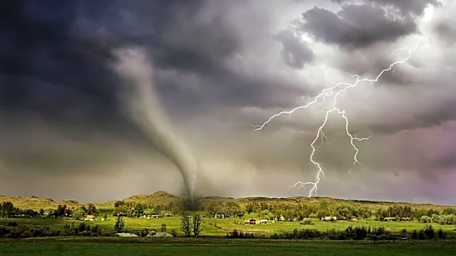
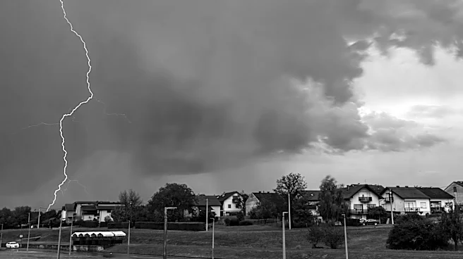
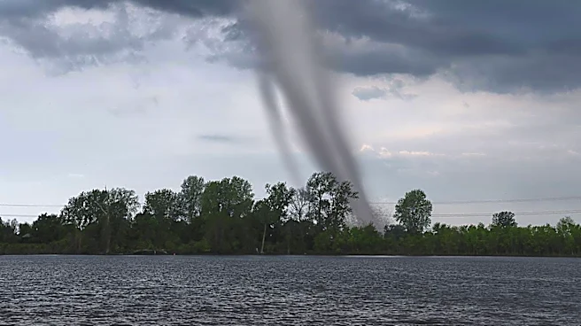
The National Weather Service has issued tornado and severe thunderstorm watches for much of Maryland, effective until 10 p.m. Tuesday. The state is under a slight risk for severe weather, with damaging
winds and flash flooding as primary concerns. Heavy downpours, lightning, and hail are expected, with potential flooding in some areas. The storms are predicted to taper off overnight, with a drier forecast for Wednesday. Residents are advised to stay informed through weather alerts and take necessary precautions to ensure safety.
Why It's Important?
Severe weather events like this can have significant impacts on communities, including property damage, power outages, and disruptions to daily life. The alerts serve as a critical reminder of the importance of preparedness and the need for effective communication between weather services and the public. The potential for flash flooding and tornadoes highlights the vulnerability of infrastructure and the necessity for robust emergency response plans. This situation also emphasizes the role of meteorologists and local authorities in providing timely and accurate information to minimize risks.
What's Next?
Residents are encouraged to monitor weather updates and follow safety guidelines issued by local authorities. Emergency services and utility companies are likely on standby to respond to any incidents resulting from the severe weather. The aftermath of the storms will require assessments of any damage and potential recovery efforts. Community resilience and preparedness will be tested, and the response could influence future strategies for dealing with similar weather events.