






What's Happening?
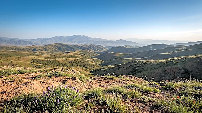
The Alpine Space Programme, through its PINO project, is developing and testing spatial planning tools to address land-use pressures in Alpine municipalities. The project aims to enhance the protection and preservation of biodiversity, ecosystem services,
and ecological connectivity in the Alpine region. Planners in these areas often face challenges in defending open land from development, despite strategic papers advocating for its preservation. The PINO project seeks to provide practical tools, such as map layers identifying ecological corridors, checks to flag plots that should remain open, and scoring sheets for comparing land-use options. These tools are being co-developed with planning authorities and tested in six pilot regions across five Alpine countries. The goal is to create a PINO Toolbox by 2029, complete with training materials in multiple languages, to assist authorities in the Alps with land-use decisions.
Why It's Important?
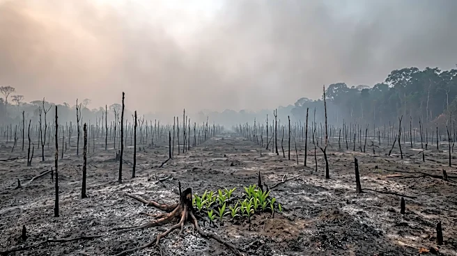
The PINO project is important because it directly addresses the ongoing challenge of balancing development with environmental protection in sensitive Alpine regions. The continuous pressure on land in areas where mountains meet lowlands leads to the gradual loss of vital ecological corridors and natural habitats. By providing concrete, actionable tools for spatial planning, the project aims to empower local authorities to make more informed decisions that prioritize biodiversity and ecosystem services. This initiative has the potential to safeguard critical natural resources, maintain ecological connectivity, and mitigate the environmental impact of urbanization and infrastructure development in the Alps. The collaborative approach, involving multiple countries, highlights the transboundary nature of these environmental challenges and the need for coordinated regional strategies.
What's Next?
The PINO project will continue its co-development and testing phase in six pilot regions across five Alpine countries. Feedback from these real-world case studies will be crucial in refining the spatial planning tools. By 2029, the project aims to consolidate these tools into a comprehensive PINO Toolbox. This toolbox will include training materials in German, Italian, French, and Slovenian, making it accessible to a wide range of authorities throughout the Alps. The long-term objective is for this toolbox to be adopted by planning offices, enabling them to more effectively protect and preserve natural landscapes and ecological connectivity in the face of ongoing land-use pressures. The collaborative framework established by the nine partners from five countries is expected to continue fostering regional cooperation on environmental planning.
Beyond the Headlines
The PINO project's focus on practical, implementable tools for spatial planning in the Alps underscores a broader shift in environmental governance towards more actionable and localized solutions. While high-level policy documents often outline environmental protection goals, the challenge frequently lies in translating these into everyday planning decisions. By providing planners with specific instruments like map layers and scoring sheets, the project addresses the operational gap between policy and practice. This initiative also highlights the ethical dimension of land use, where short-term economic gains often conflict with long-term ecological sustainability. The collaborative, multi-national approach reflects a growing recognition that environmental issues transcend national borders and require integrated regional strategies, setting a precedent for similar challenges in other transboundary ecological zones.