


What's Happening?
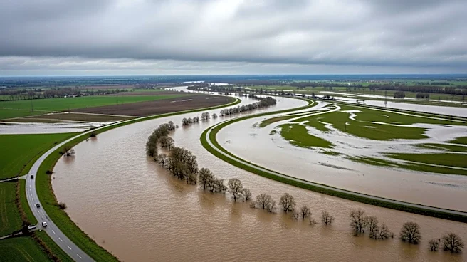
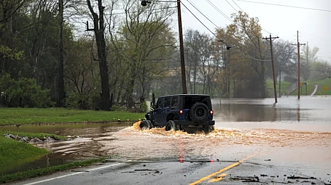
North Texas is experiencing significant flooding due to heavy rainfall, with a flood watch in effect until 4 p.m. on Sunday. The Dallas-Fort Worth area recorded over an inch of rain at the DFW Airport, leading to saturated grounds and flooding in low-lying
areas. More rain is expected, particularly east of the I-35 corridor. The weather is expected to clear by Monday evening, with temperatures rising into the low 90s. A high-pressure system is anticipated to bring hotter conditions midweek, with temperatures reaching the upper 90s and heat index values around 100 degrees.
Why It's Important?
The persistent flooding in North Texas highlights the challenges of managing extreme weather events, which can disrupt daily life and pose risks to public safety. The saturated grounds and ongoing rain increase the likelihood of flash floods, which can damage infrastructure and homes. The situation underscores the importance of effective emergency management and infrastructure resilience in the face of climate variability. Residents and local authorities must remain vigilant and prepared for potential evacuations or emergency responses.
What's Next?
As the high-pressure system builds, North Texas will experience hotter and drier conditions, reducing the immediate flood risk but increasing the potential for heat-related issues. The next chance of rain is expected later in the week, which could bring relief or further complications depending on the intensity and distribution of the rainfall. Local authorities will continue to monitor weather developments and provide updates to ensure public safety.