


What's Happening?
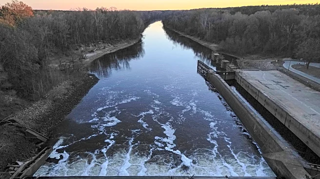
The National Weather Service has issued flood watches for millions of residents across five states due to an approaching storm system. The affected areas include southeastern Louisiana, Mississippi, northern Alabama, central Tennessee, and parts of Wisconsin.
The storm is expected to bring heavy rainfall, with some regions anticipating over five inches of rain. In addition to flooding, the system may produce strong winds and severe thunderstorms, posing risks of tornadoes and hail. Major cities such as Birmingham, Jackson, and Nashville are preparing for potential impacts.
Why It's Important?
The impending severe weather highlights the vulnerability of certain U.S. regions to flooding and storm-related damage. Such events can lead to significant disruptions, including property damage, transportation issues, and potential loss of life. The economic impact can be substantial, affecting local businesses and infrastructure. The situation underscores the importance of preparedness and effective communication from meteorological services to ensure public safety. It also raises awareness about the need for resilient infrastructure to withstand extreme weather conditions.
What's Next?
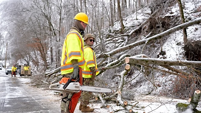
As the storm progresses, residents in the affected areas are advised to stay informed through weather updates and heed any evacuation orders or safety advisories. Emergency services and local governments are likely to be on high alert, ready to respond to any incidents. The aftermath of the storm may involve recovery efforts, including repairs to damaged infrastructure and assistance to affected communities. The event may also prompt discussions on improving flood management and disaster preparedness strategies.