




What's Happening?
The National Weather Service has confirmed that at least four tornadoes touched down in New Jersey during a recent storm. The tornadoes were identified in Stanhope, Lower Berkshire Valley, Pine Brook, and Cape May. The Cape May tornado began as a waterspout
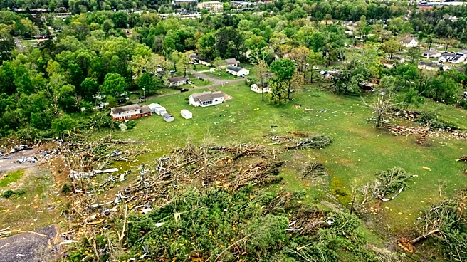
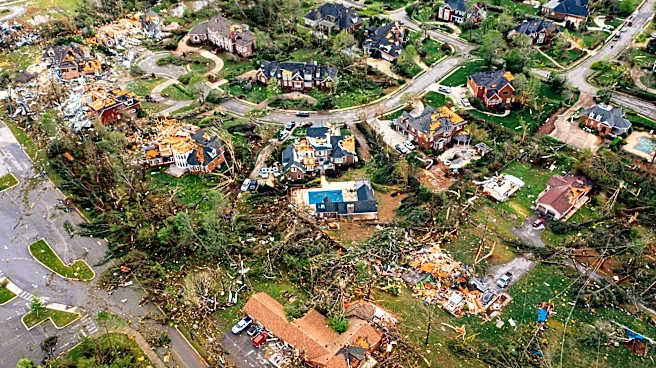
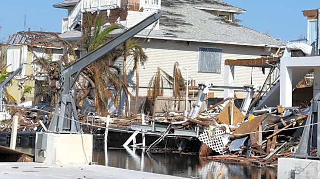
before moving onto land. The storms caused significant wind and rain damage, particularly in Sussex County, where flash flooding and tree damage were reported. Fortunately, no property damage was reported, and the primary impact was on trees. Residents like Steve Gumeny and Marcello Ramirez described the suddenness of the storm and the challenges it posed, with Ramirez noting the difficulty of driving in the conditions.
Why It's Important?
The confirmation of multiple tornadoes highlights the increasing frequency and intensity of severe weather events in the region, raising concerns about climate resilience and emergency preparedness. The impact on local infrastructure, such as roads blocked by fallen trees, underscores the need for robust disaster response strategies. This event also serves as a reminder of the potential for natural disasters to disrupt daily life and the importance of having effective communication and warning systems in place to protect residents.
What's Next?
Local authorities and emergency services are likely to continue assessing the damage and clearing affected areas. The National Weather Service may conduct further investigations to understand the storm's dynamics better. Residents and local governments may also review and update their emergency preparedness plans to better handle future severe weather events. Additionally, there may be discussions on improving infrastructure resilience to withstand such natural occurrences.