


What's Happening?
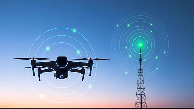
42 Technology and Omnisense have developed a terrestrial radio positioning system to improve the safety of autonomous drone landings. This system, part of the European Space Agency-supported DroneHome program, provides a reliable navigation layer when
satellite signals are obstructed or unavailable. The technology is designed to function in environments where global navigation satellite system (GNSS) signals are degraded, such as near tall buildings or inside tunnels. The system uses Ultra-Wideband (UWB) positioning to maintain stable and predictable drone positioning, ensuring safe autonomous landings.
Why It's Important?
The development of this terrestrial radio navigation system addresses a critical challenge in the field of autonomous drones: the reliability of navigation systems in GNSS-challenged environments. By providing an alternative to satellite-based navigation, this technology enhances the safety and resilience of autonomous systems, which is essential for their broader adoption in various applications. This advancement could lead to increased use of drones in infrastructure inspection, delivery services, and other sectors where reliable navigation is crucial.
What's Next?
Omnisense is working with partners to explore the deployment of this technology in operational systems. The goal is to integrate the terrestrial radio navigation system into next-generation navigation architectures and autonomous platforms. This could pave the way for more widespread use of drones in complex environments, potentially transforming industries that rely on aerial data collection and delivery services.