


What's Happening?
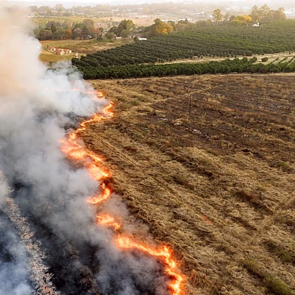
New research from the University of California Santa Barbara, led by Cat Fong, has identified six evacuation routes as the optimal number for reducing fatalities during wildfires. The study analyzed wildfire fatalities in the U.S. over the past two decades,
finding that communities with six or fewer major roads face exponentially higher risks during evacuations. This research comes in the wake of the 2023 Maui wildfires, which exposed vulnerabilities in areas with limited evacuation options. The findings suggest that having at least six routes provides necessary redundancy to handle congestion and road blockages during emergencies.
Why It's Important?
The study's findings have significant implications for urban planning and emergency preparedness, particularly in wildfire-prone areas. By identifying a clear threshold for evacuation routes, policymakers and city planners can better assess and improve community resilience against wildfires. This research could influence future infrastructure investments and zoning laws, prioritizing the development of additional evacuation routes in vulnerable areas. The emphasis on evacuation planning underscores the need for comprehensive strategies to protect lives and property in the face of increasing wildfire threats.
What's Next?
Communities across the U.S. may begin to reassess their evacuation plans and infrastructure in light of this research. Local governments could initiate projects to expand road networks and improve emergency response capabilities. Additionally, the Wildfire Resilience Index, developed by Fong, offers a tool for communities to evaluate their evacuation vulnerabilities and prioritize improvements. As climate change continues to exacerbate wildfire risks, this research provides a critical framework for enhancing public safety and resilience.