


What's Happening?
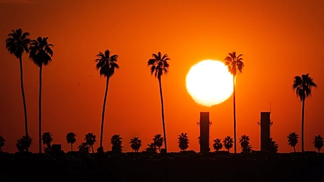
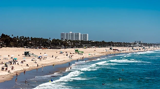
Southern California is currently experiencing a record-breaking heatwave, with extreme heat and tropical humidity persisting through Friday. Downtown Los Angeles recorded 98 degrees on Monday, tying its record twice in the past week, while Woodland Hills
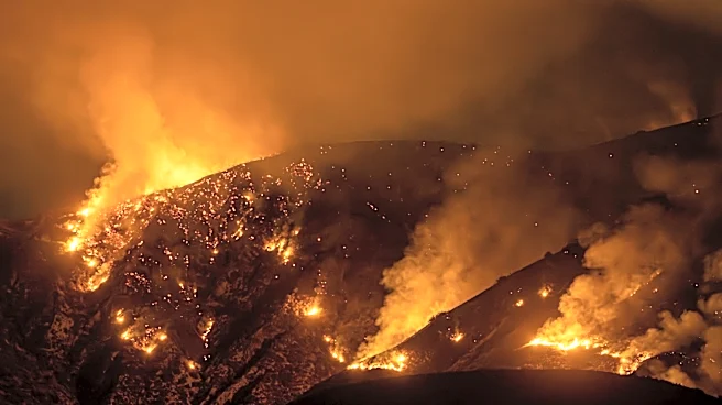
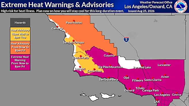
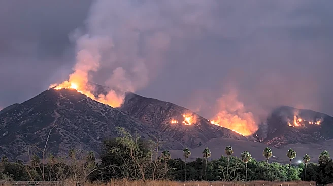
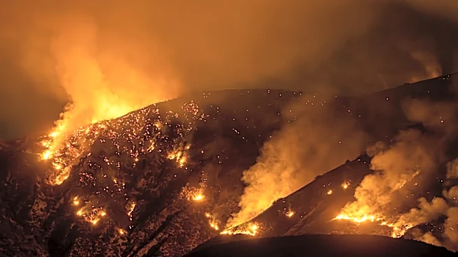
hit 111 degrees on Wednesday, breaking its daily record. Lancaster also broke its record at 107 degrees. The region is also seeing unprecedented humidity levels, with dewpoints reaching nearly 73 degrees in downtown L.A. on Thursday, making conditions feel uncomfortably humid. Extreme heat warnings are in effect for large parts of Los Angeles County and inland Orange County until Friday evening. Additionally, red flag warnings for critical fire danger are active until Friday afternoon for the San Gabriel Mountains and areas along the Interstate 5 and Highway 14 corridors due to gusty winds and deep atmospheric mixing. Forecasters predict a cooldown starting Saturday, with temperatures expected to fall below normal seasonal averages by Sunday and Monday.
Why It's Important?
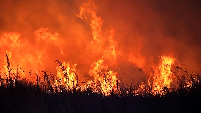
This heatwave poses significant health risks to residents, particularly sensitive groups such as the elderly, young children, individuals without air conditioning, and outdoor workers, due to the high risk of heat-related illnesses. The combination of high temperatures, gusty winds, and tropical moisture has also elevated the risk of wildfires across the region. Thunderstorms, while bringing some moisture, can also create dry lightning, which can spark fires that spread rapidly under these conditions. The prolonged marine heatwave off the coast of California and Mexico has reduced the Pacific Ocean's natural cooling effect, contributing to the extreme temperatures and humidity. This event highlights the vulnerability of urban and natural environments to extreme weather phenomena, impacting public safety, emergency services, and potentially leading to significant economic losses from fire damage and healthcare strain.
What's Next?
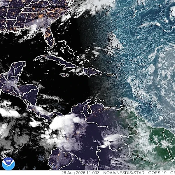
The severe weather threat is expected to peak through Friday afternoon, with red flag warnings expiring at 3 p.m. and extreme heat warnings ending at 8 p.m. Tropical moisture is projected to clear the region Friday night, initiating a steady cooling trend starting Saturday. By Sunday and Monday, temperatures are anticipated to fall below normal seasonal averages, accompanied by the return of a typical coastal marine layer. However, forecasters are monitoring a developing weather disturbance off the Baja California coast, which could mature into a tropical storm. While most projections indicate increased mugginess and warmer conditions in Southern California between Tuesday and Thursday of next week, only a small percentage suggest measurable rainfall. Residents are advised to limit outdoor physical activity during peak afternoon hours, stay hydrated, and utilize air-conditioned spaces until Friday night. Those in foothill regions and red flag warning zones should remain vigilant regarding fire weather conditions.
Beyond the Headlines
The current heatwave in Southern California underscores broader climate trends, including the impact of long-term marine heatwaves and the influence of phenomena like El Niño on regional weather patterns. The unusual combination of a marine heatwave, a unique weather pattern, and a generally warmer global climate is contributing to the extremity of such events. The increased frequency and intensity of heatwaves and associated wildfire risks could lead to long-term shifts in urban planning, resource management, and public health strategies. Communities may need to invest more in cooling centers, early warning systems, and fire prevention measures. The event also highlights the interconnectedness of oceanic and atmospheric conditions, demonstrating how changes in one system can have cascading effects on regional climates and human populations.