




What's Happening?
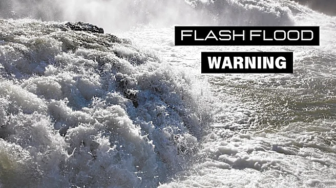
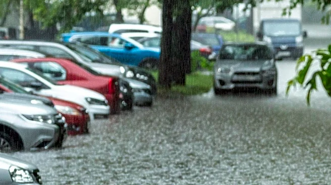
Utah is facing a marginal risk of flash flooding as thunderstorms develop across the state. The National Weather Service has warned that heavy rainfall from these storms could lead to flash flooding in areas such as Bryce Canyon, Capitol Reef, Grand Staircase,
and Zion National Park. The state is also experiencing high temperatures, with the Wasatch Front reaching 97 degrees and St. George hitting 105 degrees. Despite the heat, cooler weather is expected later in the week, with monsoon thunderstorms anticipated to continue through the weekend.
Why It's Important?
The potential for flash flooding poses a significant risk to residents and visitors in affected areas, particularly in national parks where sudden floods can be dangerous. The situation highlights the need for preparedness and awareness of weather conditions, especially during the summer months when thunderstorms are more frequent. It also underscores the importance of effective communication from weather services to ensure public safety. The ongoing heat and weather patterns may also have broader implications for water resources and environmental conditions in the region.
What's Next?
Residents and visitors in the affected areas are advised to stay informed about weather updates and be prepared for potential flash flooding. Authorities may issue further warnings or advisories as the situation develops. The expected cooler weather later in the week could provide some relief from the heat, but the risk of thunderstorms and flash flooding will remain. Ongoing monitoring and communication from weather services will be crucial in managing the situation and ensuring public safety.