


What's Happening?
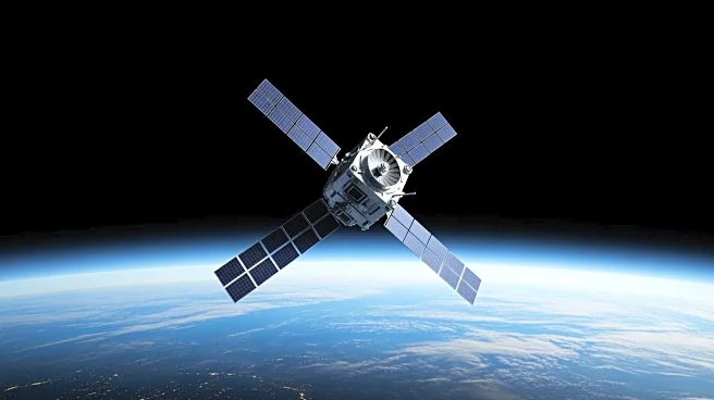
NASA, in collaboration with European partners, is set to launch the Sentinel-6B satellite to continue monitoring global sea levels. The satellite, equipped with advanced instruments, will collect precise data on sea level rise, atmospheric temperature,
and humidity. This mission aims to improve weather forecasts and climate models, providing crucial information for public safety and city planning. Sentinel-6B will succeed its twin, Sentinel-6 Michael Freilich, and extend the sea level record to nearly four decades.
Why It's Important?
The Sentinel-6B mission is vital for understanding climate change impacts, particularly rising sea levels. Accurate data from the satellite will aid in forecasting ocean encroachment on coastlines, improving hurricane predictions, and studying ocean phenomena like El Niño and La Niña. This information is crucial for coastal planning, protecting infrastructure, and ensuring safety for commercial and defense interests. The mission supports informed decision-making for governments and stakeholders in safeguarding coastal areas.
What's Next?
Following its launch, Sentinel-6B will undergo a cross-calibration period before taking over from its predecessor. The satellite will map 90% of Earth's ice-free oceans every 10 days, providing continuous ocean topography measurements. The data will enhance weather prediction models and assist in coastal infrastructure planning. Stakeholders, including local and state governments, will use this information to protect real estate, energy sites, and military installations from climate impacts.
Beyond the Headlines
The Sentinel-6B mission highlights the importance of international collaboration in addressing global climate challenges. By combining resources and expertise, NASA and its European partners aim to provide comprehensive data that supports climate resilience efforts worldwide. The mission underscores the need for continued investment in space technology to monitor and mitigate climate change effects.