






What's Happening?
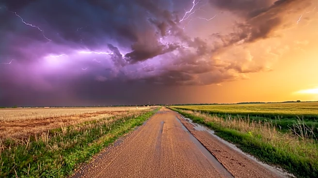
Southeastern Wisconsin experienced severe weather on Sunday, with strong winds, heavy rain, and lightning affecting the region. After a quiet late afternoon, more storms are expected to develop in the evening, particularly south of I-94 and closer to the state
line. These storms could bring very heavy rainfall and gusty winds, with the potential to move south into Illinois as the night progresses. The weather pattern is expected to continue into Monday, with isolated storms along the Wisconsin-Illinois state line, and more widespread rain and storms anticipated on Tuesday.
Why It's Important?
The severe weather conditions in southeastern Wisconsin highlight the ongoing challenges posed by unpredictable weather patterns. Such storms can lead to disruptions in daily life, including power outages, transportation delays, and potential property damage. The heavy rainfall and strong winds also pose risks to public safety, emphasizing the importance of timely weather forecasts and preparedness measures. Understanding and adapting to these weather patterns is crucial for local communities, emergency services, and infrastructure planning, as they work to mitigate the impact of severe weather events.
What's Next?
Residents in southeastern Wisconsin should remain vigilant and stay informed about weather updates as the situation develops. Local authorities and emergency services will likely be on alert to respond to any incidents caused by the storms. As the weather system moves through the region, there may be a need for cleanup and recovery efforts, particularly in areas that experience significant rainfall or wind damage. The ongoing weather conditions also serve as a reminder of the importance of community preparedness and resilience in the face of natural events.