
What's Happening?
Federal forecasters have reported a sharp increase in the likelihood of El Niño developing later this year, with potential impacts on U.S. weather as early as next month. The National Oceanic and Atmospheric
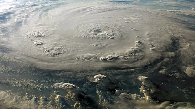
Administration's Climate Prediction Center indicates that El Niño is likely to emerge during the May-July period, driven by rising ocean temperatures and shifting wind patterns in the Pacific. While conditions are currently ENSO-neutral, the atmosphere-ocean system is increasingly aligning toward El Niño, which is known to influence temperature, rainfall, and storm tracks across the United States.
Why It's Important?
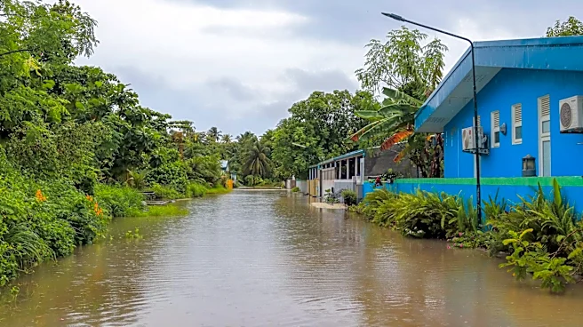
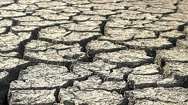
The development of El Niño is significant due to its potential to alter weather patterns across the U.S. Historically, El Niño events have been associated with wetter conditions in the southern U.S. and milder conditions in the north during colder months. The potential for a 'super' El Niño could amplify these effects, leading to heavier rainfall, altered jet streams, and broader global impacts. Understanding and preparing for these changes is crucial for mitigating risks to agriculture, infrastructure, and communities, particularly in regions prone to weather extremes.
What's Next?
As El Niño conditions develop, meteorologists will continue to monitor and update forecasts to provide guidance on expected weather changes. Stakeholders, including government agencies and local communities, may need to prepare for potential impacts, such as increased rainfall and temperature anomalies. The gradual onset of El Niño means that changes will not be immediate, but awareness and preparedness will be key in managing its effects. Continued research and observation will help refine predictions and inform policy decisions related to climate adaptation.