







What's Happening?
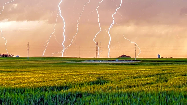
The Philadelphia region is bracing for strong afternoon and evening storms on Thursday, with a flood watch issued for counties along the I-95 corridor. According to NEXT Weather Meteorologist Kate Bilo, humidity is moving into the area, setting the stage
for potentially severe weather conditions. The forecast includes the possibility of heavy rainfall and strong winds, which could lead to flooding in low-lying areas and along roadways. Residents are advised to stay alert and monitor weather updates as conditions may change rapidly.
Why It's Important?
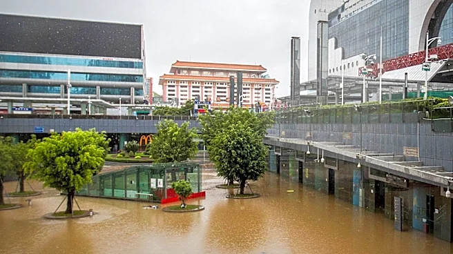
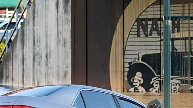
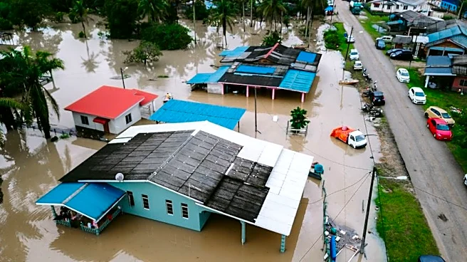
The flood watch highlights the vulnerability of the Philadelphia area to severe weather events, particularly in urban settings where drainage systems can be overwhelmed by heavy rainfall. Flooding can disrupt transportation, damage property, and pose safety risks to residents. The situation underscores the importance of preparedness and the role of meteorologists in providing timely and accurate forecasts to help mitigate the impact of severe weather on communities.
What's Next?
Residents should prepare for potential flooding by securing property and staying informed through local news and weather updates. Emergency services may be on standby to respond to incidents related to flooding or storm damage. The situation calls for vigilance and readiness to take action if conditions worsen, ensuring public safety and minimizing disruption.