


What's Happening?
North Texas is experiencing persistent high temperatures, with forecasts predicting highs in the upper 90s to near triple-digits. The region recently marked its hottest day of the year on the 4th of July, reaching 99°F. Despite the heat, humidity levels
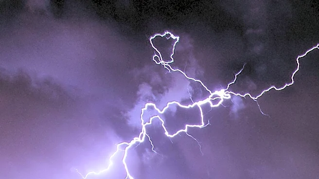
are expected to be slightly sticky but not oppressive. As the day progresses, scattered showers are anticipated to develop, particularly in the northwestern parts of North Texas, with better storm coverage expected north of I-20 and west of I-35. These storms may bring threats of lightning and strong gusty winds. Residents with outdoor plans are advised to monitor weather updates and seek shelter if storms approach.
Why It's Important?
The ongoing heat wave in North Texas poses potential health risks, particularly for vulnerable populations such as the elderly and those with pre-existing health conditions. The forecasted storms could disrupt outdoor activities and pose safety hazards due to lightning and strong winds. This weather pattern highlights the importance of preparedness and awareness during extreme weather conditions. The situation also underscores the need for effective communication from local authorities to ensure public safety and minimize disruptions.
What's Next?
As the week progresses, isolated showers are expected to continue, with the best chances south of I-20. Temperatures are likely to remain above average, maintaining the hot and sticky conditions. Residents should stay informed about weather developments and be prepared for potential changes in forecasts. Local authorities may issue advisories or warnings if severe weather conditions develop, emphasizing the need for community readiness and response.