
What's Happening?
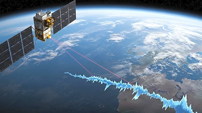
Researchers from Hong Kong Polytechnic University have utilized advanced space geodetic technologies to provide a precise 30-year record of global ocean mass change, revealing its significant role in driving global mean sea level (GMSL) rise. The study, published in the Proceedings of the National Academy of Sciences, indicates that GMSL has been increasing at an average rate of approximately 3.3 mm per year, with a notable acceleration observed. The research team, led by Prof. Jianli Chen and Dr. Yufeng Nie, employed satellite laser ranging (SLR) to derive time-variable gravity field data, offering direct observations of global ocean mass estimates between 1993 and 2022. This innovative approach addresses spatial resolution limitations by incorporating detailed geographic information of ocean-land boundaries, enabling long-term monitoring of global ocean mass changes.
Why It's Important?
The findings underscore the growing severity of climate change, as the rise in GMSL is primarily driven by the thermal expansion of seawater and the increase in global ocean mass due to melting land ice. The research highlights the accelerated melting of land ice, particularly in Greenland, as a major contributor to the increase in global ocean mass. This study provides crucial data for validating climate models used to project future sea-level rise scenarios, offering a comprehensive assessment of the long-term impact on the sea-level budget. The ability to directly quantify global ocean mass increase enhances the understanding of climate change dynamics and informs policy decisions related to coastal protection and climate adaptation strategies.
What's Next?
The research team’s findings may prompt further studies utilizing satellite laser ranging as a novel tool for long-term climate change analysis. The data could influence future climate models and projections, potentially impacting policy decisions regarding climate change mitigation and adaptation. Stakeholders, including governments and environmental organizations, may use this information to develop strategies for managing sea-level rise and protecting vulnerable coastal communities. Continued monitoring and research are essential to refine predictions and address the challenges posed by climate change.
Beyond the Headlines
The study's innovative use of satellite laser ranging to measure ocean mass changes represents a significant advancement in climate science. This technique could lead to more accurate assessments of sea-level rise and its drivers, enhancing the understanding of climate change impacts. The research also highlights the importance of international collaboration in addressing global environmental challenges, as the data and methodologies developed could be applied to other regions facing similar issues.