




What's Happening?
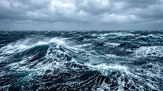
The National Hurricane Center (NHC) has issued a Gale Warning for the western Atlantic Ocean, specifically south of Bermuda. This warning is due to confirmed gale-force winds, with strong to near-gale force winds extending from 27N to 31N between 55W
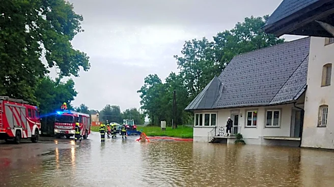
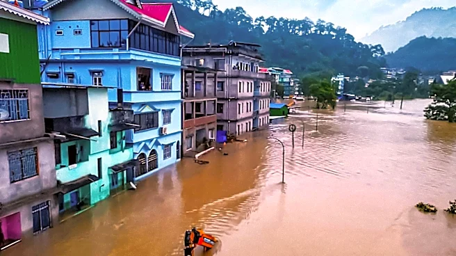
and 70W, accompanied by seas ranging from 8 to 12 feet. Environmental conditions suggest that this system could gradually acquire subtropical characteristics over the weekend as it moves eastward. Regardless of development, the area of high winds and rough seas is expected to expand eastward, reaching as far as 45W by early Monday. Concurrently, heavy precipitation is anticipated across Central America, particularly Nicaragua and Costa Rica, from today through at least Friday. This is attributed to a deep-layer trough over the northwestern Caribbean interacting with enhanced low-level moisture and onshore flow, posing a risk of life-threatening flash flooding and landslides.
Why It's Important?
This weather alert from the National Hurricane Center carries significant implications for maritime activities and coastal communities. The Gale Warning in the western Atlantic directly impacts shipping lanes, commercial fishing, and recreational boating, necessitating precautionary measures to ensure safety and prevent potential economic losses from damaged vessels or delayed shipments. For Central America, the forecast of heavy precipitation and the associated risk of flash flooding and landslides represent a severe threat to human life, infrastructure, and agricultural sectors. Such events can lead to displacement of populations, destruction of homes, and long-term economic disruption in affected regions. The interconnectedness of these weather phenomena underscores the critical role of agencies like the National Weather Service and NOAA in providing timely and accurate forecasts to mitigate risks and facilitate preparedness for both U.S. interests and neighboring regions.
What's Next?
The National Hurricane Center advises continued monitoring of the western Atlantic system, as gale-force winds and very rough seas are expected to expand eastward north of 25N, reaching 45W by early Monday before diminishing. Mariners are urged to consult the latest High Seas Forecast for updated information. For Central America, the heavy precipitation is expected to continue through Friday, with the heaviest rainfall concentrated in Nicaragua and Costa Rica through Thursday. Local weather agencies and the International Desk at the Weather Prediction Center will provide further details and updates on the flash flooding and landslide risks. Communities in these areas should remain vigilant and follow guidance from local authorities regarding safety measures and potential evacuations. The National Weather Service will continue to issue advisories and forecasts to help affected populations prepare and respond to these hazardous weather conditions.
Beyond the Headlines
The simultaneous occurrence of a Gale Warning in the Atlantic and heavy precipitation in Central America highlights the complex and far-reaching impacts of atmospheric systems. Beyond immediate safety concerns, these events can have broader ecological and economic consequences. Increased rainfall can lead to soil erosion and agricultural damage, affecting food security and local economies. The potential for subtropical development in the Atlantic also underscores the ongoing challenges posed by climate variability and the need for robust climate monitoring and prediction systems. These weather patterns can also influence migration trends and humanitarian aid requirements in vulnerable regions. The continuous efforts of NOAA and the National Weather Service in forecasting and disseminating critical weather information are essential for regional resilience and international cooperation in disaster preparedness and response, reflecting the global nature of weather phenomena and their societal implications.