

What's Happening?
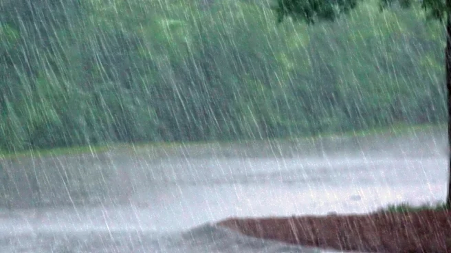
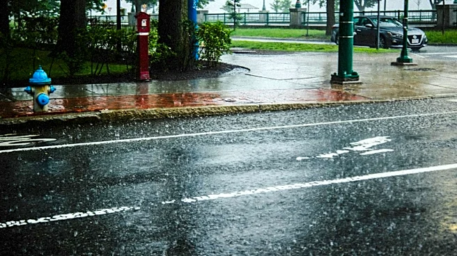
A significant fall storm is forecast to impact Western Washington from Thursday night into Friday. The storm system is expected to deliver widespread rain, with most areas experiencing wet weather by sundown on Thursday. Temperatures will drop, with highs
anticipated to be in the upper 50s and low 60s on both Thursday and Friday. Gusty winds are also a key feature of this weather event, with speeds reaching 30 to 45 mph along the coast and northern Puget Sound. Higher mountain elevations could see 1 to 1.5 inches of rain and potentially a dusting of snow. The Mariners game on Thursday night at T-Mobile Park is expected to be cool, with the roof likely closed due to the incoming rain. As the front moves through, colder and more unstable air will follow, potentially leading to isolated thunderstorms across parts of Western Washington on Friday afternoon and evening. Snow levels are also predicted to drop to around 6,000 to 7,000 feet by late Friday.
Why It's Important?
This fall storm is important for Western Washington as it marks a significant shift in weather patterns, bringing an end to milder conditions and ushering in cooler, wetter, and windier weather. The widespread rain could impact daily commutes and outdoor activities, while gusty winds pose a risk of power outages and travel disruptions, particularly along coastal areas and the northern Puget Sound. For agriculture, the rain is generally beneficial, but strong winds could damage crops or infrastructure. The drop in temperatures and potential for snow in higher elevations signal the onset of the colder season, which could affect recreational activities and necessitate preparations for winter conditions. The closure of the T-Mobile Park roof for the Mariners game highlights the immediate impact on local events and public gatherings, demonstrating how weather can influence community activities and local businesses reliant on outdoor events.
What's Next?
Following the storm, weather conditions are expected to improve over the weekend. A weak high-pressure system will build into the region, leading to drier weather from Saturday night through Sunday. While skies will be partly cloudy, temperatures will remain cool, with highs in the low 60s. Residents should prepare for continued cool temperatures and partly cloudy conditions into the early part of the next week, with a slight chance of rain returning by Tuesday and Wednesday. The immediate aftermath of the storm will involve monitoring for any localized flooding or wind damage, particularly in areas that experience the strongest gusts. Travelers in mountain regions should be aware of potential snow and icy conditions at higher elevations. Local authorities will likely issue updates regarding any necessary precautions or advisories as the storm progresses and recedes.
Beyond the Headlines
The arrival of this fall storm in Western Washington underscores the broader seasonal transition and the increasing frequency of such weather events as the region moves deeper into autumn. Beyond the immediate impacts of rain and wind, these early fall storms play a crucial role in replenishing water reserves, which are vital for the region's ecosystems and agricultural sector. However, the intensity of these storms can also highlight vulnerabilities in infrastructure, such as power grids and transportation networks, prompting discussions about climate resilience and urban planning. The shift to cooler temperatures and the potential for early snow in the mountains also signal the beginning of the winter sports season, impacting local tourism and related businesses. This weather event serves as a reminder of the dynamic nature of the Pacific Northwest climate and the continuous need for preparedness and adaptation among its residents and industries.