





What's Happening?
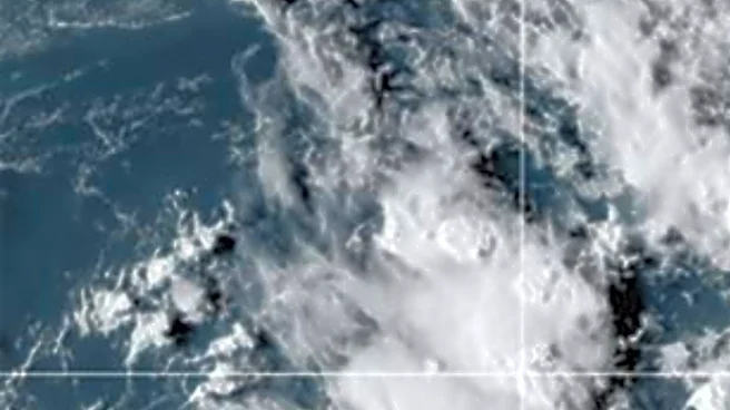
The Northeast and mid-Atlantic regions are currently experiencing a fast-moving belt of stormy weather, with severe thunderstorms most likely from the upper Midwest into the mid-Atlantic states. Multiple clusters of storms are expected to move through
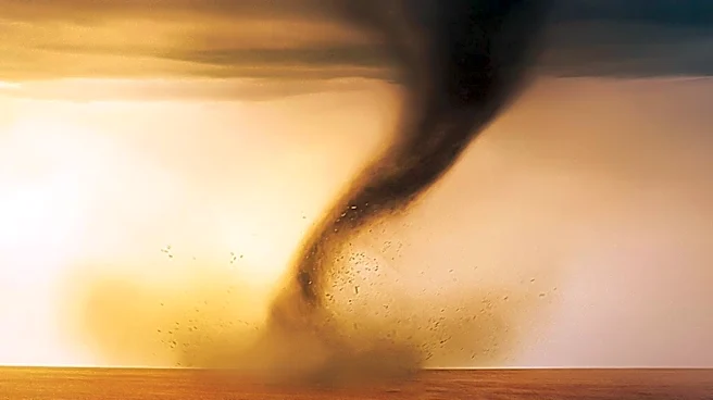
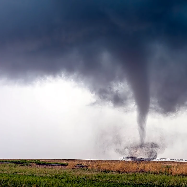
the region into early Friday morning. The primary threats associated with these storms include damaging thunderstorm wind gusts, capable of downing trees and causing power outages, and large hail. A few tornadoes are also possible, with one or two potentially strong, particularly in the Upper Midwest. The damaging wind threat is locally higher in northeastern Ohio and western Pennsylvania. By Friday, the severe threat is projected to shift southward into parts of southern Virginia, West Virginia, and North Carolina, with wind remaining the biggest concern. Scattered severe thunderstorms are anticipated in parts of the mid-Atlantic on Thursday, potentially extending westward into the upper Midwest.
Why It's Important?
This widespread severe weather event poses significant risks to public safety and infrastructure across a large portion of the eastern United States. Damaging winds and potential tornadoes can lead to property destruction, injuries, and fatalities, while power outages disrupt essential services and economic activity. The threat of large hail can cause substantial damage to vehicles and crops. For businesses, disruptions can range from supply chain interruptions to direct property damage, impacting local economies. Residents face the immediate danger of severe weather and the subsequent challenges of recovery and repair. The continuous monitoring and issuance of warnings by meteorological services are crucial for enabling timely preparedness and minimizing adverse impacts on communities and critical infrastructure.
What's Next?
The severe weather threat is expected to continue through Friday, with the focus shifting geographically. On Thursday, scattered severe thunderstorms are anticipated in parts of the mid-Atlantic and potentially the upper Midwest. By Friday, the severe threat will have moved further south in the East, impacting parts of southern Virginia, West Virginia, and North Carolina, where wind will be the primary concern. Lingering storms are possible in the Carolinas and southern Virginia on Saturday, with wind remaining the biggest threat. Residents in affected areas are advised to stay informed through local weather alerts and to take necessary precautions to ensure their safety and protect property. Utility companies will likely be on standby for potential power outages and restoration efforts.
Beyond the Headlines
The recurring nature of severe weather events across the U.S. highlights the ongoing challenges in climate adaptation and resilience. The economic burden of these events, including insurance claims, infrastructure repair, and lost productivity, continues to grow. This situation also brings to light the importance of community preparedness and the effectiveness of public communication strategies during emergencies. As weather patterns become more volatile, there is an increasing need for investment in advanced meteorological forecasting technologies and robust emergency response systems. Furthermore, the psychological toll on communities frequently exposed to such events, including anxiety and trauma, represents a significant public health concern that often extends beyond the immediate aftermath of the storms.